

10/28/20 Oldwick to Spruce Run with Joe Tag, Jennifer Tull, Kirk Rohn, Joel Castus, and Justin Gurbisz


This
next hike would be another point to point night one, this time from Oldwick to
Spruce Run.
We met for this one at the large parking lot on Van Syckles Road just off of Rt 31 in Union Township.
I’m always trying to put together something new, and every hike is intended to
have something new on it, even if it’s something I’ve done before for the most
part. For me, the highlight of this one would be the Hill and Dale Preserve,
which I kept hitting at after dark hours and been unable to fully appreciate
it.

We walked north on the main drag to the entrance to the Cold Brook Reserve, a Hunterdon County park.
I actually painted the sign in front of this park when I worked there, and I was the first person to blaze the trail system.
We made our way up through the fields there to the center, and then made the first right downhill and through a line of trees. We then turned left on another field edge which led to a woods section. I could still see some of the yellow and blue blazes I did way back in 2009. They had covered over some of them with plastic trail markers, which don’t really last long, and some of the colors we had decided upon for those trails have now changed, but this is one of those properties I use to prove how well paint lasts as opposed to plastic markers.

We came out of the preserve on Hill and Dale Road and turned to the left.
I remember walking through here previously, and there was a horse almost out in the road. A messy property on the right had been somewhat cleaned up since the previous time there.
We turned right from Hill and Dale on Parsonage Lot Road and headed uphill to the west entrance to the Hill and Dale Preserve of the NJ Conservation Foundation. Across the street from there is the municipal Hell Mountain Preserve.


We turned to the left, at a spot where Joe had left his walking stick the last time we were out.
The field edges were nice and there were often very pleasant views off into the valley of the Rockaway Creek below.
I pretty much decided to keep with the same route we had followed the last time we hiked through, because we could barely see anything at that time.
We were walking out toward where there was a better view, and I was making some sort of dumb noises. I can’t recall exactly what it all was, but there was a hunter in a tree stand just barely off the trail to our left. He was pretty angry and leaned out to say “It’s huntin’ season you know!”.

We moved on to the east and barely acknowledged him.
We dipped down to a small stream and climbed back up to more fields until we reached the farthest west side of the property. We then started to head downhill on another mowed path. There were plenty more good views through this stretch during the descent.
There are a lot more trails in this preserve further up hill, but we didn’t have the time to do them this time. I need to go back and do more of the trails there, but of course there’s just not enough time for everything.


Rockaway Road is a very nice one. It runs beside the creek, and cave us several opportunities to get off of the road on bits of land closer to the creek. There is a handsome angled truss bridge over it a little further down, on a private driveway, which was featured on the cover of the Hunterdon County phone book years ago.
We continued up the road, and there are beautiful old homes, one of which was a former mill converted to residence.


The beautiful little settlement is sandwiched in a tiny valley of the Rockaway Creek, where the east and west branches of the stream find their confluence.
There is a quaint little sign that points to what is in which direction. The most prominent building at the epicenter of the settlement is the old Mountainville Post, established in 1880 by the Farley family. It served as a post office and General Store, and remained in the Farley family for over a century. It's sadly no longer a store now, but it is still being used, and this time it appeared to be a Yoga studio from what we could see going on from the outside.


It was dark, but the road isn't very heavily used so it was a very pleasant walk.
We moved on down the road, and paused for a break when it went across the Rockaway Creek, and sat for a bit on the bridge there.
From that point, we turned to the right on Cokesbury Road heading west.


This intersection, which has two churches and cemeteries, is the settlement of Cokesbury. The settlement was named for two Methodist Bishops, Coke and Asbury. However, the post office, probably the one in nearby Mountainville, kept misspelling the name as "Cokesburg".
The first resident was one of the same Farley family who owned the store in Mountainville, Mindurt Farley. The first church was built in 1815, which is probably when the settlement was named. There was also once a tavern and a hotel, also Farley operated. There was an iron furnace established here in 1754, but I do not know where it stood.
The first resident was one of the same Farley family who owned the store in Mountainville, Mindurt Farley. The first church was built in 1815, which is probably when the settlement was named. There was also once a tavern and a hotel, also Farley operated. There was an iron furnace established here in 1754, but I do not know where it stood.


We continued to head uphill on Cokesbury Road.
This road was a bit larger, but it still wasn't too heavily used this time of night, so we were okay.I noted along some of this road walk some public open space I've yet to go back and check out.
We turned off of the road slightly when we went by the Mountain View Cemetery, and walked through it a bit.
After passing the intersection with Petticoat Lane, I had intended to cut through the fields to the left and down into the Beaver Brook Ravine to pass the Amesbury Furnace ruins.
We paused for a few moments at the field edge, and everyone did not feel like going through the fields and off on an unmarked woods trail at this time. The alternative was to remain on Cokesbury Road and then take the railroad bed toward High Bridge, and then continue with the hike as I'd planned.
We did that, and headed downhill on Cokesbury Road to reach the South Branch of the Raritan River, at a point that was known as "Stone Mill". The old stone buildings here are well restored, and a house on the right side of the intersection with River Road had burned somewhat recently. It has now been beautifully restored and is lived in again.
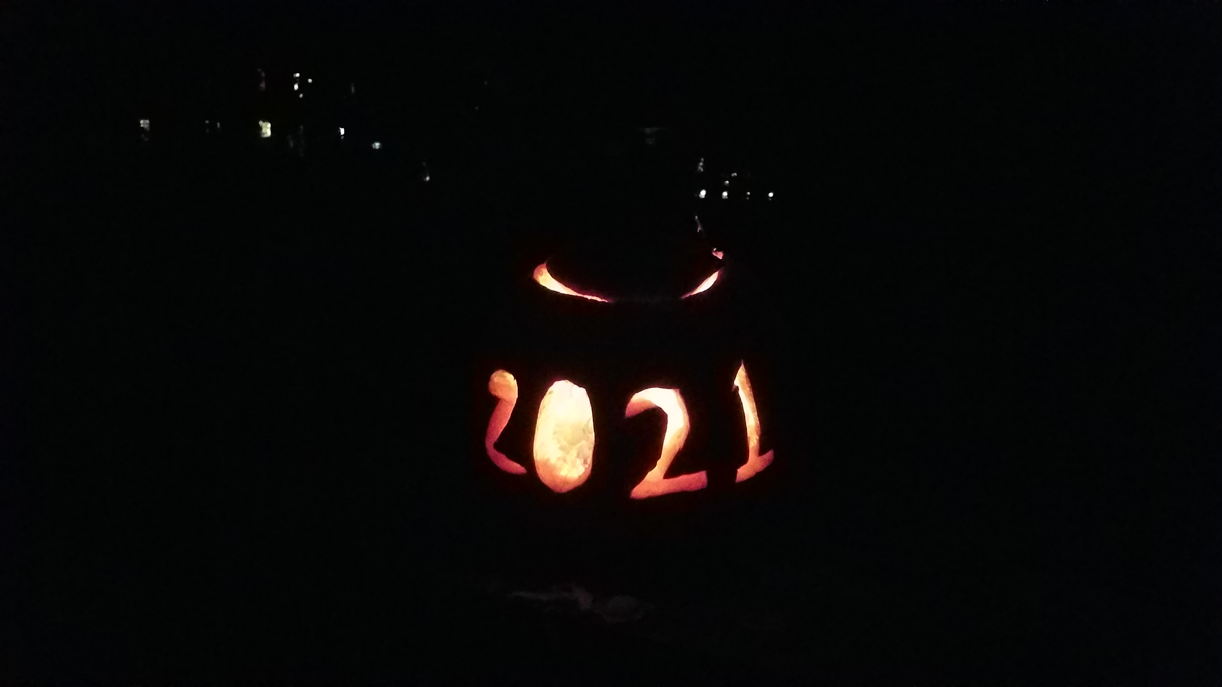
We crossed the river, and there were Jack O' Lanters sitting on the edges of the bridge.

We crossed the bridge and climbed the hill a bit on the other side, in a settlement that had been known as Readingsburg.
We passed beneath the narrow underpass of the former High Bridge Branch of the Central Railroad of New Jersey, and then climbed by way of a side trail connection to the road up to the rail bed.
The rail bed is now known poorly as "Columbia Trail", named for the gas line that had been there for only a decade, rather than the rail line that had been there for over a century at the time of trail development.
We passed through town to Bridge Street and then turned immediately right onto Central Avenue. At the end of that, there is a short trail section that leads down to West Main Street.
We walked a short distance on this, then turned left onto Hillcrest Drive, followed by right on Sunset Drive. This took us to a dead end where we cut directly into the High Bridge Hills Golf Club property and began walking directly across. I decided on a route that would not be as much crazy distance for the final leg of the hike, despite the fact that we could milk a lot of miles out of it.

The night was pretty clear, and so this was a really nice way to meander the last remaining distance before getting finished.

We crossed and turned right along Rt 31, then cut over through the abandoned fish and wildlife office house to get onto Van Syckles Road. We crossed the Spruce Run inlet to the big lot to finish off the hike.
No comments:
Post a Comment