Hike #1514; 11/8/22 Washington Crossing and Trenton Loop with Shane Blische and EverenThis next hike would be another return to the area along the Delaware River just north of Trenton. I had walked this loop already a few times even since Ev had been born, but I never tire of it.
This time, I wanted to do it again mostly because I had several more historic then and now compilations I wanted to get of sites along the Delaware Canal in the area.
I didn't make any concrete plans and didn't want to impose upon the group by posting something if anything went wrong. It was Election Day, and everyone was moving to vote and dealing with all of that. I didn't know how long it was going to take me or whatever else I would end up having to deal with, so I got a hold of Shane, and if we were able to come together with enough time, we would attempt the loop.
I had a lot of errends to run and then to go and vote at the local Catholic Church. I had to get Ev up and ready, carried him through the place, pay some bills, write up some stuff for work, and I actually still have a bunch to do, but I didn't want to waste a beautiful day out.
It was not as hot as it had been two days prior, but it was still pretty nice out. Tee shirt weather overall.
It would be a long loop, and the starting point would be Washington Crossing Historic Park in Taylorsville PA. The little settlement is kind of lost in name to most people who drive through because the identity of the place is sort of solely Washington Crossing.
It was a beautiful and sunny day, and much of he foliage was still hanging on to make for a great ambiance.
We didn't waste any time at the start. We walked from the parking area after changing Ev's diaper onto the Delaware Canal heading south.
This was built as the Pennsylvania Canal Delaware Division in 1832, and is one of the best preserved towpath canals in America, nearly sixty miles from Easton to Bristol.
The canal rather closely paralleled Taylorsville Road for a bit, and we soon passed over a recently filled in road over the canal.
There was an old canal bridge here, but someone had dumped all sorts of fill and maybe three pipes down into it so that people could drive across. I guess it's hard to get in from Rt 32 to the east, but one would think they'd have a better way than to dump all of that fill into the historic canal, next to the bridge, which is still abandoned and looking like a wreck.
A little after this, we came to the Houghs Creek Aqueduct, where the stream passes beneath the canal. I paused on top of it to let Ev look off the side at the water from the middle.
In this area ahead, we passed beneath the Goat Farm Bridge, one of only six remaining authentic camelback truss bridges still spanning the Delaware Canal.
I was looking very closely at the bridges along the way trying to match a historic photo from a book I have, simply titled "The Delaware and Lehigh Canals" published by Hugh Moore Historical Park and Museum Center for Canal History and Technology.
The one photograph shows two men working a canal boat with a camelback bridge, noted near Yardley.
I knew the view was facing north because the towpath was on the right, and I watched the curves of the canal after we passed beneath every bridge.
I found that this historic photo was probably not Yardley at all, but rather closer to Taylorsville, and probably the Goat Farm Bridge judging by the curve in the canal. The other curves at other bridges don't quite match.
I wasn't so sure at first because this was one of the earlier bridges we went under, but after seeing all of the other ones in the Yardley area, I feel pretty confident that I found the correct location.
The next bridge we came to, to the south, was marked a private crossing. I remember this place from every time we've ever gone by because there is a small stone ruin just on the south side of the bridge, with an old house beyond on the left.
When Shane and I recently hiked south from New Hope to Taylorsville, we were looking for a match of an historic photo also from the same book as the previous photo, which identified some stone ruins as lime kilns, but we never saw it.
We assumed that it must be just south of where we turned to head back in New Jersey.
When we looked at this site, I felt we found the right location.
The ruins at the bridge I had previously identified as probably a former spring kitchen or something, but they are apparently the ruins of a more complex area of kilns that were along the towpath. he old house adjacent to it was definitely the right age for the structue, but the one there today has a sort of gabled roof, and the old photo showed one with a simple triangle roof.
The historic photo was taken in 1919, and the house is much smaller than the one there today, but that doesn't mean there wasn't a major addition. This one would have had to be two major additions. If we did not find the exact location, we were extremely close to it for certain.
I climbed up to the bridge and ran across, and got what I felt was the closest comparison I could get. The lighting with the sun where it was in the sky wasn't the best, but I made due.
I hurried back across, and we continued to the south a bit more.
We passed beneath Mt Eyre Road and beneath a Queen Post Truss bridge known as the Milk House Bridge, and eventually reached Lock #7, which was also known as Borden's Lock.
There was another historic photo that my book identified as "probably lock 6", but I would argue that similar to the other two, which were slightly misidentified, it was probably lock 7.
The front of the lock house that still stands there today seems to match that of the Louis Tiffany photo from the book showing the lock tender's family watching the "Molly-Polly-Chunker" pass by.
The Molly-Polly-Chunker was a converted scow that traveled the canal for pleasure trips as freight cargo declined due to the railroads. Molly and Polly were the names of the mules that towed the boat.
Aside from the one I found mis-identified, I had two other historic photos to do comparisons of at Lock 7, from both above and below the lock.
From here, we continued to the south to reach Woodside Road.
At this location across the canal is the historic 1799 house, which had belonged to the original Scudder Family for whom Scudders Falls is named. The new Scudders Falls Bridge crosses the Delaware here, with the new walkway access along the towpath.
We had gone to the grand opening of the bridge which was a fun time.
I considered going to the comfort station to give Ev a diaper change, but he'd had one recently enough so we skipped it and continued ahead beneath the highway bridge.
The section ahead is always kind of interesting because it becomes a sort of town atmosphere. We reached Lock #6, also known as Lear's Lock, and then came into the northern part of the town of Yardley. It's really a neat little town that we'd never really spent enough time in, and we'd make up for some of that this time.
The towpath becomes residential street through some of the town, and we soon passed over the Buck Creek Aqueduct. On the other side, we reached Afton Avenue, turned right, and then left on South Main Street. We were going to stop in Yardley General to get some drinks, but they were closed down.
An older gentleman was going by when we went to open the door, and he explained to us that it's sort of a wine bar now, and that usually they're open by this time, but because of Election Day, they might be closed. He said there were some old rules on the books in places like Pennsylvania where they didn't want people getting all drunk and making poor decisions regarding their politicians.
I thought for a moment that he might be right, but next door was Vault Brewery, and it was open.
I had been wanting to try Vault Brewing for a long while, but I wasn't going to go in and sit at a bar with little Ev. I figured I'd just run inside and see if they might have anything interesting.
I went inside and there were a couple of people getting ready at the bar. They had a refrigerator to the right with a few cold four packs, so I had a look at what it was.
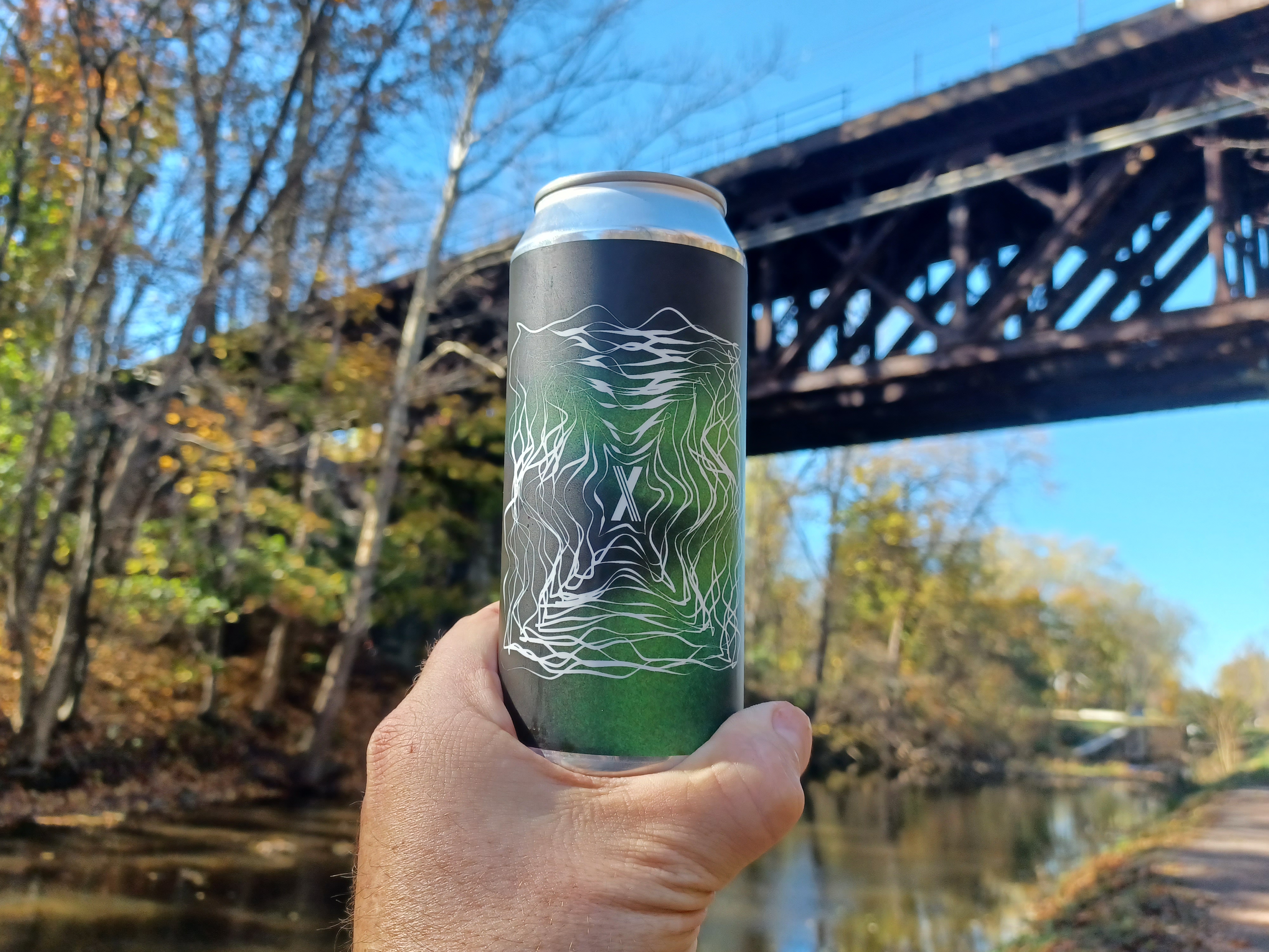
There was an Imperial Stout called "Too Strong to Fail" or something like that, aged in bourbon barrels. It was exactly the type of thing I wanted!
I got the four pack and came out happy.
Shane was intrigued enough with my purchase that he decided to go inside and have a look at the selection for himself. He ended up finding a good strong coffee stout he was quite happy with.
The brewery occupies an old bank building, hence the name "Vault Brewery". The entire area of town had some interesting architecture and and creative reuses. A bike shop occupied a former fire department on the other side of the street.
We went into Yardley Pizza next store to get a bite to eat for lunch. It actually was better than we were expecting from PA pizza. It was a good little stop and we each had two slices.
We continued to College Avenue through town, which was nice to walk through, turned left, crossed the canal, and then turned right back onto the towpath.
We crossed beneath Letchworth Avenue, and then soon reached Lock #5.
The upper end of the lock has been filled over for access from the east, and I had three historic photos I wanted to emulate on this one.
Two of these photos I had done as then and nows before, but I figured I could do more accurate ones at this point.
There were two of the lock, above and below it, from my book, and then there was a third I had seen somewhat recently online looking at the lock from above.
Just beyond the lock and closely within sight is the former Philadelphia and Reading Railroad bridge over the canal, and beyond over the Delaware River.
This was originally part of the National Railroad plan built in 1876, which became part of the Reading. The bridge over the Delaware and probably over here as well was replaced in 1913.
I got the couple of lock photos, and ran to the other side to get an odd angle on the new one I'd found, and we moved on along the canal to the south.
We continued beneath the bridge, and paused for a moment on the other side when we could hear a rumbling. Shane caught it; there was a SEPTA train, which still very actively uses the bridge, about to pass over. I was able to catch it going across when I turned around for a nice photo.
It was a really pretty area ahead, and we continued on to cross Black Rock Road. Someone had placed a mail box on a tree branch out there on the canal.
The canal widened in an area ahead here where boats would apparently be stored for Winter.
It was getting a bit warmer, and we were in a good spot with direct sunlight, so I chose that as a good spot to give Ev another diaper change. I have been carrying old Burger King or Taco Bell paper bags with me to carry the diapers until I find receptacles since they pretty much did away with plastic bags in NJ.
Before putting him in his stroller, we sat and let him relax a bit.
There were geese everywhere through this area, and they were the most brazen ones I've seen.
They were not afraid of us in the least bit and just coming right up looking for food. When they started getting a little too uncomfortably close to Ev, I put him back in the stroller.
There were a couple of Mallards out with all of the geese, and I pointed them out to Ev. He loves ducks, and so he leaned and looked over at them.
On one of the park benches in this area, someone had left a tree cookie cutting with Star Trek's Mr. Spock on it.
We continued ahead on a really pretty stretch, crossed Ferry Street, and then continued to Calhoun Street where we left the canal towpath. The old Calhoun Street Bridge came into view before we reached the site, through the trees.
The bridge was built by the Phoenix Bridge Company of Phoenixville Pa in 1884, the through truss structure was once part of the transcontinental Lincoln Highway.
It's still a well used free crossing, and the somewhat newly rehabilitated deck is the route of the East Coast Greenway.
We turned and crossed over the bridge into New Jersey.
I probably noticed this before, but the decking on the PA side versus the NJ side was a slightly different color, a different shade of brown. I kind of think they might have done that on purpose.
The Delaware River upstream has exposed rocks in it, the beginning of what is referred to as the Trenton Falls where the river makes its final major drop before it becomes tidal.
We got to the NJ side and continued over the on ramps at Rt 29 directly across and past apparently where Governor Phil Murphy has his office.
We reached the Delaware and Raritan Feeder Canal just a bit of Calhoun Street and started walking to the left on that. We paralleled State Street and crossed at Prospect Street to the opposite side of the canal.
The towpath is understood to have pretty much always been on the inland side of the canal on the New Jersey side.
Just ahead of where we were after Prospect, the former Belvidere Delaware Railroad crosses the canal and runs almost side by side with it all the way from that spot to the canal's northern terminus at Bull's Island.
The Delaware and Raritan Feeder Canal was completed in 1834, but I recently read that it wasn't really upgraded for navigation until locks were added to the feeder about 1850.
That was the same year the first section of the "Bel Del" opened up along the Delaware.
If it was indeed not used for navigation until after that point, the towpath would most certainly have had to be on the opposite side from the tracks.
Most people erroneously refer to the trail from this point even to Frenchtown, where there was never a canal at all, as the "tow path". That always bothers me because it certainly was never a towpath.
We continued ahead to the former rail crossing and turned. Shane pointed out to me an old coaling trestle on the other side of the bridge which I'd never noticed before, probably abandoned long before the rest of the railroad in the early 80s at this point.
The decked rail bridge had one missing plank in the middle of it where someone could easily drop a foot through. I sent a photo of it to the Superintendent who jokingly asked if I could have it fixed today.
The rail bed and canal had a lot of foliage hanging on through the Trenton area which made the walking very nice here.
We crossed Hermitage Ave ahead, and then soon after Parkside Ave by way of an aqueduct and bridge. To the right after this spot was the Cadwallader Park, a former station stop on the old Bel Del. The stop was added for access to the popular Olmstead Bros designed park on the right of the canal and railroad, accessible by foot bridge. It remained on the timetable until 1931. I set up a ton of then and now compilations at this point on the last hike we had done down there.
This was another particularly beautiful area with the reflections of the park and the pavilion building in the canal beside us.
On this hike, we paid particular attention to the mile markers along the way, which Shane and a friend had gone out and repainted white with black characters.
We passed markers 65 and 64 for northbound to Manunka Chunk along the way here.
After the park, we skirted the Trenton Country Club, which is pretty, and crossed Lower Ferry Road where there's a bit of an old spillway. We also stopped for Shane to swing on a sort of home made swingset someone had set up along the left side of the trail.
Soon after Lower Ferry Road, we passed beneath the former National Railroad, which was taken over by the Reading. We had gone beneath this south of Yardley on the PA side. The New Jersey section was built as the Delaware and Bound Brook Railroad.
The original bridge at the site was on stone piers just to the west of the current bridge site.
We passed mile marker 63 a little bit beyond, and there was a former bridge site over the canal that once led to a quarry on the east side. Just some of the wood abutments remain.
Next, we came to the former site of Wilburtha Station at Wilburtha Road. There is a lot of junk including an earth mover out in the woods to the left, and there's nothing left of the station. It was one that was eliminated rather early.
To the left of the rail bed is an old abandoned house. It's been abandoned for a very long time, and once served as an office for the quarry company here. I didn't remember seeing it my first time hiking this, but on a night hike we went inside and explored it several years ago. I came out wearing a blazer I'd found, which I've since given away.
The building is not the shape that would have been built as an office, even an old one. This was clearly once a residence, and probably from the 1800s at the latest. I wonder if this had been a Delaware and Raritan Canal bridge keeper's house at one point prior to even the railroad arriving. Bridge keepers were commonplace along the main route of the Delaware and Raritan Canal, and even though the feeder was used for navigation for a shorter time, and starting later, it is logical to assume that it might once have had a bridge keeper.
The road is an old one, and the bridge there would have required a lift when it was in operation. It was probably a more major thorofare in the past because the Yardley-Wilburtha Bridge used to cross the Delaware very close to the western end of the road.
We took a little break on the other side of the road crossing at a little bench where Shane went over some of his historic train schedules, and we looked at the historic markers showing the station and the canal. Like so many other historic markers, very little mention of the railroad is made on them, but there's a lot of detail on the canal.
We continued ahead, and Shane pointed out the very obscure mile marker 62, in the weeds and leaning somewhat sideways to the left. He said he would like to try to straighten it one day, and maybe paint it like the other ones along the line. Aside from the mile marker, there was also a whistle marker for grade crossing, one of only two whistle markers on the line remaining between Lambertville and Trenton. It too was out in the weeds.
We crossed Upper Ferry Road, then soon passed beneath the new Scudders Falls Bridge and associated on ramp bridges.
We soon crossed beneath Rt 20 and connected with the shared use pathway that goes over the new Scudders Falls Bridge. We then crossed an access to the Delaware and continued on a peaceful stretch to the north.
We passed mile marker 61 which is in great shape, and eventually came to the little settlement known as Somerset.
The name of this location owes its existence to the Mercer and Somerset Railroad, which had its junction with the Bel Del at this location.
When the National Railroad was set to be built, in order to try to block it, the Mercer and Somerset was rather haphazardly constructed in 1874, funded by the Pennsylvania Railroad. It connected an existing Pennsylvania Railroad branch that went from New Brunswick to East Millstone, and continued down through to Harlingen, Hopewell, Pennington, and then down to the Delaware River on the Bel Del, which became a branch of the Pennsylvania Railroad.
The plan was to connect the line through to the Newtown Branch and have a though route, but a bridge over the Delaware and line to connect there was never built.
The Delaware and Bound Brook line was built by the National Railroad anyway in 1875, and both lines remained active for a short time.
This led to the famous "frog war" of Hopewell where the Mercer and Somerset sent an engine from New Brunswick down to park across the Delaware and Bound Brook to keep their train from going past. A fight ensued that went down in history. Mercer and Somerset were eventually forced to move their train, and by 1880, it was abandoned. The Delaware and Bound Brook became part of the Reading which is still active (same one we crossed beneath twice on this hike).
On this trip, we were rather surprised to see that some of the infrastructure at the site had been cleared of vegetation. Some signal stands, which date from after the Mercer and Somerset and junction site were long abandoned, were cleared and visible. A water tower base was also cleared. It was still cool to see some of this stuff visible.
The area along the rail bed and canal widens through here for the former junction, and one can kind of make out where there would have been a lift bridge over the canal. On the other side, Jacob's Creek Road was built over the right of way of the Mercer and Somerset.
We continued on through a beautiful section of canal and rail bed where the light was shining perfectly. We continued north to Washington Crossing New Jersey quite quickly.
We reached the former site of the Washington Crossing Station, which was originally a rather grand structure, but was paired down to a small building that lasted until some time after 1955. I can't remember when it was demolished.
We crossed over the Washington Crossing Bridge from here, which was built in 1904 to replaced the old covered bridge that washed out in the Pumpkin Flood of October 1903.
The sun was just starting to go down as we stepped onto the handsome old bridge and crossed. There were good views of the Delaware as we went over.
When we got to the Taylorsville side, the historic McConkey's Ferry Inn was on the right side of the road.
The site was originally Baker's Ferry, and the oldest section of the building is the basement kitchen built in 1752. This section was rebuilt using the original kitchen in 1790. Further additions were made in the early 1800s.
The Bakers sold the inn to the McConkeys, who owned it in 1776, and so it became McConkey's Ferry.
Shane had found an historic image of the inn at the bridge from the early 1900s that I saved to my phone, so I set up one final then and now compilation before we finished the hike. It was only a short distance from this spot to where we were parked at the historic park just to the west.
It doesn't seem to matter how many times I do basically this same hike, I never get tired of it. It's really relaxing with a lot to see. All of these loops along the New Jersey and Pennsylvania sides along canals and rail beds are equally as interesting and relaxing, and doing it with my son and good friends makes it that much better.

Ham.


No comments:
Post a Comment