

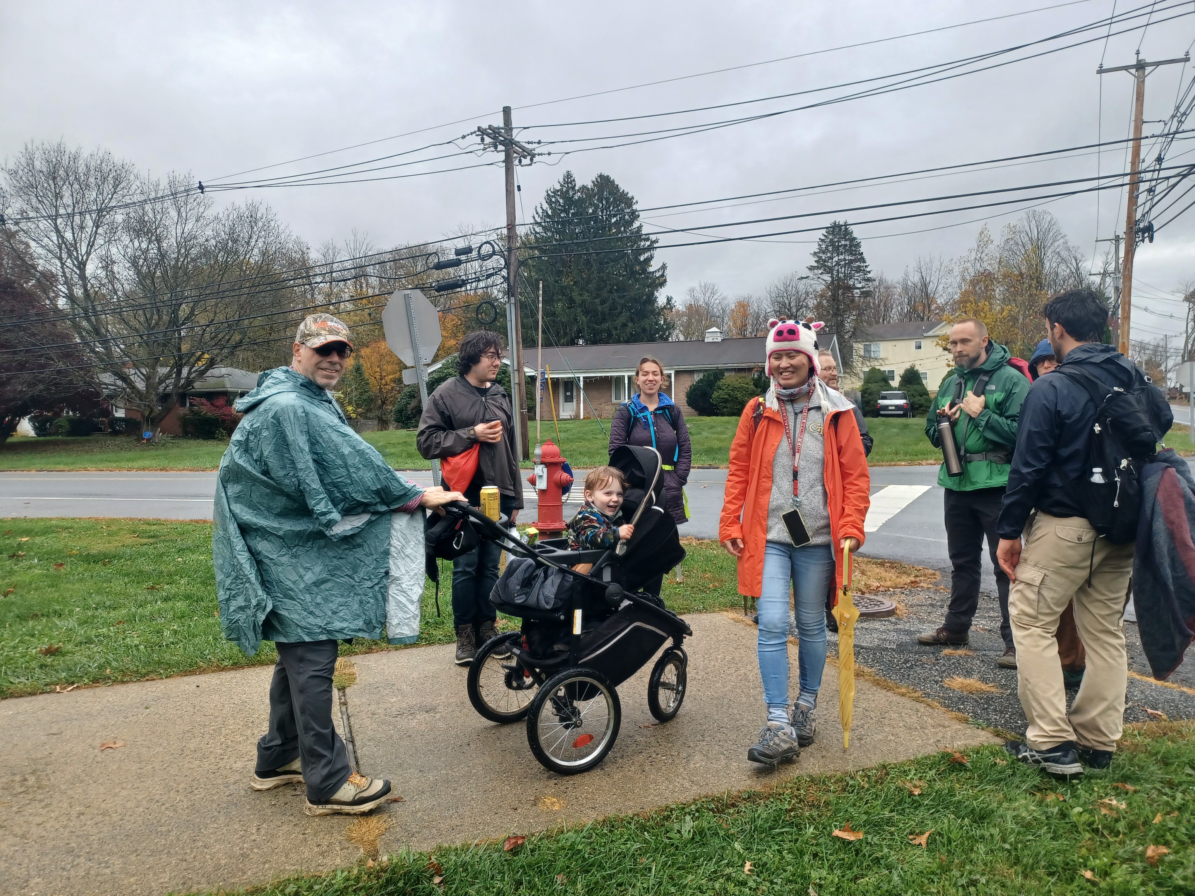
Hike #1576; 10/29/23 Spruce Run Turnpike with Eric Mitchell, Serious Sean Dougherty, Alyssa Lidman, Paul Soltis, Evan "Joe Millionaire" Van Rossum, Stephen Argentina, Professor John DiFiore, Violet Chen, and Jenny Tull
This next hike would be a another on the historic route of the Spruce Run Turnpike, and the last one I'd post through work for quite a while.
I had already done this one previously, but I wanted to do it one more time before the end of 2023, since it was the 210 anniversary of the charter of the Spruce Run Turnpike (1813).
There are so many historic sites to point out on this route, and I can remember details of so much of it, probably more than most anyone else that could do this.
We had newcomer Eric Mitchell out with us, and he was great because he's so into the history of this.

It's always great to have coworker Paul Soltiss out with us as well, because he's the historian at the Wallace House and Old Dutch Parsonage.
Like the previous time I posted this, it was a somewhat rainy day, which knocked out the amount of people that might otherwise have attended.
Still, it was alright, and I was glad to have the group I had, and to get another hike in.
We met at the municipal building in Clinton NJ, which is the beautiful Victorian John Taylor Leigh Mansion built in 1861 on Leigh Street. From there, we shuttled to the north to Oxford to begin the hike.

The last time I organized this one, I didn't bring Ev with me, but this time I did. I was having trouble right from the start on this one because I was forgetting stuff, and the tires were going flat.
I was going to be able to make due with it, but walking with the flat tires is not really fun.
We started in Oxford along Wall Street, and I brought everyone around to the Shippen Manor, finest example of a colonial ironmaster's house, built in 1755.
Across from that was the old wheelwright shop, and then the church and Oxford Furnace, built in 1741. It was the first of the hot blast furnaces.
 |
| American House |
I pointed out that the church next to the furnace was the original mill building, but that the mining company wanted the land the original Methodist church was on, so they offered to convert their no longer needed mill into a church, and take the old church land. It was agreed upon, and that's why we have this interesting stone church today.
I also pointed out the original right of way of the Warren Railroad, which became the main line of the Delaware, Lackawanna, and Western, where it went behind the furnace from 1856 to 1862 when the tunnel was completed to Oxford.
The turnpike route started at Belvidere Ave in Oxford, and goes up the main drag to become Mine Hill Road. I pointed out multiple locations where rail lines used to cross along the way.

Just in the stretch from Shippen Manor to the Squire's Mine, which is heading up the hill a bit from the main part of town, there were four former rail crossings at least.
I could go on forever about the history in this stretch, and I didn't go into as much detail because I was so tired and feeling a bit down due to all of the stuff going wrong with the stroller and all.
We continued on uphill on Mine Hill Road, past the mine area, and I pointed out where the Warren Highlands Trail will eventually go.
It was a bit of a chore pushing the stroller to the top of the hill, the worst of the entire hike, but then it was rather easy walking from there on down toward Washington.

There is still a good view to the left from where many trees came down years ago during Tropical Storm Sandy.
We continued on further down, and soon skirted the Fairway Greens golf course. When we got near the bottom, we headed into the golf club building which advertises breakfast sandwiches now.
I figured it couldn't hurt to ask if they had an air pump I could use for the stroller tire.
Thankfully, a nice older gentleman was working there, and I was able to follow him around their maintenance barn where he came out with an air hose. I was able to fill up, and was good for the rest of the hike! The man invited me back to say hello when I'm in the area.
When we were finished there, we continued to the Pohatcong Creek crossing. I had the others push Ev in the stroller ahead, and I went to use the restroom at the Pohatcong Creek Natural Area.

They moved pretty quickly uphill beside Fairway Estates development. A new development to the right was going in, and after many years of it being stalled, it looked as though something was finally going to be built in there.
We continued to the next intersection, Jackson Valley Road and Kinnamon Avenue cross the former turnpike, and the turnpike ahead is now Belvidere Avenue.
We continued into town, and descended slightly. I pointed out where the Morris Canal used to cross the road.
Up until maybe 2002 or 3, this section of road was still the original concrete slabs from the 1930s, which required little more than a little patching.
Ev started walking, and Alyssa and Joe Millionaire were doing the thing where they'd both hold his hands, and lift him up in the air every so many steps of the way.
 |
| Photo by Violet |
We continued on into town, and into the pretty Victorian section.
Here, I pointed out the lovely Cornish Mansion on the left side, which is now apartments.

I understand the building was constructed in the late 1860s. It was once an incredible structure with gothic revival themes and high peaked windows. In the early 1900s, it was heavily remodeled with a more boxy looking in the early 1900s at great cost. There was a fire that destroyed some of it, but it was refurbished, and it still stands strong today.
Just ahead, the fire house is on the left. The original fire house was in the former municipal building ot the right, just ahead, and there was once another victorian home on that corner.
Yet another Victorian stood where the post office now stands, which I believe was built in the 1940s.
We continued into town, past the former Quick Chek. It was a CVS for a short time, and then turned into a Habitat For Humanity facility.

While we were there, my mom came out of Scotty's Stadium Pub and said hello to us. I let Ev out of the stroller along the stretch a bit further back, and he was still running in this area.
My mom went to chase him, but couldn't keep up with him at this point, so I had to run after him.
When we reached the main intersection in the center of town, where the turnpike route continued straight as present day Broad Street, I went over the history of all four corners.
Washington was originally known as Mansfield, and was in the center of Mansfield Township, named for the ancestral homeland of the Bowlby Family.

A coac stop known as the Washington House was built in 1811 on the northeast corner of the center of the intersection. As such, the settlement was soon referred to as Washington. When the municipalities broke apart, the Mansfield name was retained for the area to the east.
Sadly, the Washington House was destroyed by fire in 1869 and replaced by the building that is still there today.
Rt 57 through Washington was previously the Easton-Morristown Turnpike, which was chartered in 1806. On the northwest corner of the intersection is the First National Bank Building, which was built in 1865. That building was expanded very nicely, in such a way that hardly anyone could tell that it was doubled in size.

The bank closed just a few years ago around covid times, after being operated by Wells Fargo. There is still a Wells Fargo ATM I use regularly in the edge of the building.
The southwest corner of town is the Stover Building, built in 1869 after the original buildings at that corner, known as Mattison Block, burned down. This might have been the same fire that claimed the Washington House, but I'm not sure.
It was originally the Beatty Building, and then the O'Neill Building, and finally Stover. It had an opera hall inside, which sadly has just been framed out into new apartments inside. In addition, a prohibition era speakeasy was in the lower level of the building, accessible through tunnels beneath the street.

The speakeasy still existed until very recent years when it was destroyed. It sometimes enrages me the lack of foresight of people not to recognize pieces of irreplaceable history like this.
Thankfully, Dan Rossi from Get a Grip, a store in town, was able to salvage the old tin ceiling from the place.
Just down from this spot was another historic coach stop, the St. Cloud Hotel, which burned down by arson in 2007. It was then getting a reputation as a drug den. There was a suspect in the crime that skipped town soon after, and I believe it actually was him that did it.
The southeast corner of town is all low buildings today, also the result of a large fire that claimed all of the older, taller buildings in that section.

Those buildings all were destroyed by fire in early 1962 and replaced by single story businesses.
I asked the group if they wanted to continue on, or have a lunch break in Washington. Juanito's is my absolute favorite Mexican restaurant, and I know some of the group really loves it as well.
It was pretty much unanimous, and so we stopped and had an excellent lunch at Juanito's.
I was totally stuffed after this stop, but the good thing was I think we waited out some of the worst of the predicted precipitation there.
We made our way out and down Broad Street to cross the Shabbecong Creek, a tributary to the Pohatcong, and then climbed up to cross the former Morris and Essex Railroad, established here in 1866 to Phillipsburg.

We crested the hill just beyond with more attractive homes, and then I pointed out to everyone the Mansfield Woodhouse Cemetery, where the original Presbyterian Church used to stand.
The church burned down in the early 1800s and the congregation split.
I explained the story of Hampton at this point, since we would be passing through that soon.
The new church was built on Valley Road in "Musconetcong Valley" to the south in 1837. At the time, settlements usually grew around the church, but the arrival of the Central Railroad of New Jersey in the early 1850s, about a mile east of the church, caused growth to occur around it rather than the church.

Another Presbyterian Church was constructed in town closer to the railroad, and the Presbyterian Congregation met in town during the colder months, and then in the valley during warmer. That congregation has carried on this tradition ever since, and was the church I attended growing up with my grandfather.
The old cemetery we were walking near is also the resting place for the Castner family victims of the Changewater Murders from 1843.
Two men, Carter and Parke, were tried for the crime twice. Found innocent the first time, they were tried a second time for the same crime, Double Jeopardy, and found guilty. Carter and Parke were buried along the road at "Murderer's Crossroads", which became known as Murderer's Bridge when the railroad came through, and the victims have three close, same height tombstones in the Mansfield Woodhouse Cemetery.

We continued downhill and dashed across Rt 31 to Springtown Road, the next leg of the former turnpike. Along the way, it got narrower, and there was a spot where there was an old lime kiln in the brush to the right. I told everyone that would be the best spot to take a restroom break out of sight for a while.
When I was little, this road was really narrow. When my grandfather and I went to hike the Spruce Run Turnpike as a series, the development ahead was under construction. It was all widened around that time.

We continued down the road, and the little settlement of Springtown was at the intersection with Asbury-Anderson Road. I brought up how the original main route was Spruce Run Turnpike, which now requires turning right on Asbury Anderson and then left on New Hampton Road. From afar, one can see how that would have been the more straight, through route.
We turned to the right, and then the left on New Hampton Road after crossing the namesake s
prings of the location, and crested the hill before descending to the Musconetcong River.

The truss bridge on the river at this point was previously a deck beam bridge or sorts with a grated deck.
The old turnpike turned right on Musconetcong River Road on the other side. Soon, it entered the little settlement of New Hampton, starting with the old school house on the right.
The settlement is named for Hamptonshire, England, and was settled in the 1700s. The town of New Hampton is actually colonial, but the nearby town of Hampton is much newer.

When the Jersey Central Railroad arrived in the early 1850s, it really didn't have a name until the Warren Railroad was built, and the site was established as the junction in 1856.
At that time, the settlement was simply known as "Junction". A generic name like that was just fine for a while, especially when there were so few junctions in America, but eventually it wouldn't do.
It was decided that since the nearest pre-established settlement was New Hampton, they would name it "Hampton Junction". When the junction was abandoned about 1955, the name "Junction" was dropped from the name. And that is how the borough of Hampton is actually newer than New Hampton.

We continued through the settlement and passed Shoddy Mill Road. I gave some more history here, about how Shoddy was a term for sort of scrap fabrict that would be reconstituted into other items such as blankets. Many think a shoddy mill is just a beat ass old mill, but that's not the case.
This mill was once a tall grist mill style structure, but burned way back. It was scaled down in size, rebuilt, and the old mill is now a deck area for apartments, and the newer brick mill is in front of it, serving as the apartments themselves.

The Shoddy Mill Bridge is now closed to all traffic. It is a pony truss style bridge known as a Lowthorp Bridge, named for its designer.
Interestingly, there are only three examples of Lowthorp Truss bridges remaining in New Jersey, and all three are on this hike.
This first one we passed by was built in 1868. Its future is currently in question.
We continued along the road, and there were some handsome old buildings along the way. To the left, there was a nice old hotel, once the American House Hotel, built in 1862.

There were other very nice houses, and some abandoned and falling apart. One old home on the south side of the road is in pretty bad shape and probably won't be around much longer.
The original New Hampton Inn was ahead, on the right, no longer used as an inn. This was the original coach stop hotel, while the current New Hampton Inn, which looked closed, is one of the true "old man bars" of New Jersey. It was one of those places that always flew under the radar. This time, it looked closed.

We continued on, and I pointed out where the Imlaydale Bridge used to be, which crossed the Musconetcong to the south.
I had considered walking down to the old Rt 30 bridge at the end of New Hampton at Imlaydale, but we didn't bother going down this time because it was kind of wet. Or maybe we did and I don't remember.
Built in 1913, the predecessor to Rt 31 bridge was one of the first of the more modern highway improvement projects.
Rt 30 was changed when it was realized there was already a State Rt 30 in south Jersey, so it was changed to Rt 69. People were stealing too many of the signs, so they changed it to Rt 31.
We crossed over present Rt 31 and entered Hampton. I told the story of when I fell off of the 31 bridge in boy scouts, but I'll spare that one for this time.

We continued on Main Street into Hampton, where I have a lot of family history. My great grandfather, George Prall Allen, was the local barber here, and the first place to pass was just past the intersection with Valley Road, where he first lived on his uncle's farm when he moved to Hampton.
He was getting an education to become a minister, but decided to go to barber school because it was shorter training, and he could go to work pretty quickly by taking the classes in NY City.
We headed uphill, and passed the Presbyterian Church, and there were kids everywhere.
The borough of Hampton was having its trick or treating on this date rather than on actual Halloween. We didn't really have costumes. I think I was probably in a green suit jacket, but Ev was dressed normal. Still, I decided we'd take some more time and go trick or treating on the way a bit.

We went up to each house and Ev was happy to retrieve candy. It was frustrating when he'd grab a crummy candy instead of good options, but he'll learn.
At one of the houses, we got to the door, and the guy handing out candy said "It's M'ke from Metrotrails!". It's weird that my videos are getting so popular that people stop me in stores very regularly. This was pretty neat too. Often, people recognize Ev before recognizing me too.

The rest of the group started getting quite a bit ahead, and missed out on several historic sites I wanted to point out, including where my grandfather was born, where his father's barber shop was, and the blueprint shop where we used to get his maps printed back in the day.
As I started driving, it was toward the end of using blueprints, but I actually went there to pick up prints for him a bit here and there. A guy by the name of John, real first name Harold, but went by John, who worked with me for a time at Spruce Run, used to own it, and he used to sell me USGS topo maps back in the days before online stuff was available.
It was one of those odd connections made years later that we'd have never expected.
We joined up again, and headed to the top of the hill near the Catholic church. At that point, we reached the highest elevation of the entire hike, the divide between the Delaware River watershed and the Raritan Watershed.
We started heading downhill, and then reached Rt 31 at the abandoned bank. I think this was my first bank when I was little. It was either that or Washington, the one that's now demolished.
Once on the other side, the road is the main street into Glen Gardner. I had heard previously that the borough was named for quarry company owners, but later found out that it was a Gardner family that had a basket and furniture factory. Prior to the current name, the settlement was known as Sodom, and for a time, Clarksville.
The second Lothorp truss bridge was on the right, just below the main street, built in 1870 on the right. It is still open.
We made our way through this little town, and passed the location of my great grandfather's last barber shop. He worked there for a time, and then became the barber for Hagedorn hospital up on the hill as his final job. He passed away just a few weeks before I was born, and his last barber shop wasn't cleaned out for a few years. I remember going in there to help my grandfather clean it out when I was little.
Also in Glen Gardner, we met a cut with a cute little dog. It turned out he was the Mayor of Glen Gardner, I think it was Mattias Schroeter. A very nice guy, he let Ev pet his little dog and chatted with us about what we were up to. It was really cool to engage with a mayor of one of the municipalities we passed through.
We continued through Glen Gardner, and passed the historic Hunt Houses, beyond which the road is now a dead end. It was cut off in recent years so that traffic doesn't pull out onto 31 at a dangerous spot.
This was a good spot to let Ev out of the stroller to run, since there is basically no traffic. We'd be on 31 for a bit after, so it was better he be out.
There were a lot of recently fallen leaves, and he started playing and throwing them like crazy, getting mud all over his face.
Stephen was really great playing with him, and Ev always really enjoys his company.
Soon, we emerged at Rt 31 and had to hand the stroller over the galvanized barrier. The worst part of the hike, we had to follow along the edge of the highway for a while.
This was broken up a bit by the side road into "Irishtown", a small community on the south side of Glen Gardner, where the original turnpike turns away from the highway a bit.
We got back onto 31 on the other end of that, and continued to he south for a bit to the intersection with Buffalo Hollow Road. The road turns away from the highway from another little side road that is the old historic turnpike again. From there, that route goes across into a Toyota dealership lot, then on into Spruce Run Reservoir.
When the reservoir was created, about 1963, the road was routed away from it, and nearby Van Syckles Road was rerouted a bit to the north in two locations.
Usually, I would head off and follow along the shore of the reservoir on this section, but water came up so high that the old turnpike bridge is now underwater again. We just stayed on 31 through this section, and I pointed out where it comes back up from the reservoir ahead. There are ruins of an old spring house in that segment, where motorists once stopped to fill bottles.
Soon, there was one final divergence from 31 worth doing, where the old road goes up to the left parallel with High Bridge Hills Golf Club.
We headed up onto that, and continued above the busy highway, with some views including of the reservoir over the Water Authority headquarters.

After the end of this side road was the last bit of crummy stuff on the hike. We dashed across 31 before there was a median, and continued walking to the north. I got a bit ahead of the group, and I think we made a pit stop at the Valero station on the right. I get food there regularly on a work day, because it's actually pretty high quality.
We continued beyond there to the Water Authority property on the right, and then cut over to the paved road/trail near the dam. This was a more pleasant walk to the Rt 513 turn off into Clinton.
We headed down 513 into Clinton, past the library, and it was starting to get dark. The group was ready to go directly to the end point, but I convinced them that it was best to turn right and head to the Old Red Mill first. I think everyone understood what I meant when we got there.

The dimly lit Old Red Mill is the most photographed structure in the state of New Jersey, unless you count the Statue of Liberty.
Originally Hunt's Mill, it was built about 1810, and after 1813, purchased by Archibald Taylor and a partner, who redeveloped the town, and renamed it Clinton for New York State's governor DeWitt Clinton, who gained national fame for the creation of the Erie Canal.
The beautiful little promenade and the view of the mills, I think everyone agreed, was the perfect ending for this great hike through history.
I was very happy to get this hike in one last time before the end of the year, and with people who appreciated the history and experience of such a different kind of walking route.
No comments:
Post a Comment