

Hike #1583: Clinton to Newport with Professor John DiFiore, Violet Chen, Alyssa Lidman, Evan "Joe Millionaire" Van Rossum, Robin Deitz, Justin Gurbisz, Dan Asnis, Karen Lee, Diane Reider, Lynette Rohrer, and Everen
This next hike would be another traditional point to point, my annual holiday hike that is intended to be a close to home celebration.
We just about always plan a hike to stop by my grandfather's house along the way, and so this time I planned one that would go from Clinton to his house and Point Mountain South.
I used the Point Mountain South lot as the meeting point for the hike, as the end point, and then we shuttled with as few vehicles as possible south to Clinton, where we'd begin in the downtown and visit some of the iconic sites.

My secondary plan with this hike was the promote some of the ethically wrong practices in government when it comes to housing and developments, because the poor decision was made to develop more of the watershed directly on the South Branch of the Raritan River just a week or so prior.

After we shuttled south to Clinton, we started walking up the main street, Rt 173 (old 22) across the South Branch of the Raritan River. I pointed out as we crossed the river, that just upstream from there was an historic Lowthorp Truss bridge, built in 1870.
This is one of only 3 iron Francis C. Lowthorp designed bridges in New Jersey, all built by William Cowin of Lambertville (the others are across the Spruce Run in Glen Gardner built in 1870, and over The Musconetcong in New Hampton, 1868).

We turned to the right at the historic Clinton House, a beautiful old restaurant that dates back to the early 1800s. This was a stage stop on the Easton-New Brunswick Turnpike, which is now the main drag.

We continued over to the Lowthorp truss and walked across it, next to the iconic Old Red Mill, the most photographed building in the State of New Jersey, if you don't count the Statue of Liberty.


We backtracked a bit to the previous trail, and made the left turn, and this turned out to be the better way.
In not very long, we reached the official trail system at Riverfield. We did not turn right to head into that trail system, because heavy rains and higher than average river levels have put some of it under water where we couldn't get to it.

We turned left up the hill on the mowed trail. What had in past years been a plain meadow on the right was now a solar farm, as we approached the Riverfield Medical building.
Solar farms are another thing driving me crazy, and so I went into a bit of a dissertation on those.
Of course, alternate power sources are great, however, why were the panels not required to be on the roofs of the new buildings? Why are none on the roof of the Riverfield building? Why are solar farms built on former fields rather than on top of new warehouses located literally across the street (like near Phillipsburg). The answer is another political one in some ways, when you see who is gaining money from them.


I can't help but wonder what happens when they are taken out of service. What becomes of the footings? The concrete contains silica, which is classified as a known carcinogen, so they may just designate the area as contaminated, and allow it to be developed in return for "remediation" by developers.

We turned right as we entered the parking area, and then continued toward the rear of the medical building. My plan was to follow the grass or sidewalks around the back of the building.
In some ways, I planned out this hike in the way I had planned my night hikes of the past. Just through whatever somewhat pedestrian friendly swaths of land we could find.
We walked around the rear of the building, and laughed at the idea that someone inside might see this crazy group of people walking on by. It was certainly something that they wouldn't be used to seeing.

When we got around the other side, we followed the grass up toward Rt 31. We cut through a swath of trees just before reaching the highway itself, which took us up to near the corner of the exit to the Speedway gas station. We then turned right onto 31 north.

We walked around an abandoned building on the highway, which used to be a business. Apparently, it was several businesses. It was at one time a seed store, it was Griffin's Garden Store, and it was once a seafood place. Just beyond this building is the Clinton Acura dealership, and I understand there used to be a bowling alley there at one time.
We walked into the lot, and continued through the middle of it to the north end. A large, grassy swath was at the end, and led along the exit lane over to Rt 513 at the next traffic light off of 31. We kept in the grass along a slope parallel with the road, and then cut to the right through a parking lot for various businesses.

We went into the tree line, and it was clear enough walking that we could get right out to Greyrock Road, where we turned to the right, to the south. At this point, to the right side of the road was a beautiful white mansion house, the Dunham Mansion, built in 1873. I don't know any more of the history of it and not much was coming up when I was searching the property, but I know there must be a story there.
We continued across the South Branch of the Raritan on the road bridge, and then reached Old Jericho Road where we turned left.

This was a pleasant, small road with very little traffic, just right for walking.
We continued down the road to the northeast, around a bend, and then reached he corner of some baseball fields. We turned to the right here, to walk around the outside of these fields.
This was just another little bit of open space I had always considered as something I would do as part of a hike, but it seemed kind of silly in the past. Now, because I've done so much through the area, the route I was choosing, and just how much road walk there would be, was a bit more important.

I think my routing made the trip all that much more interesting.

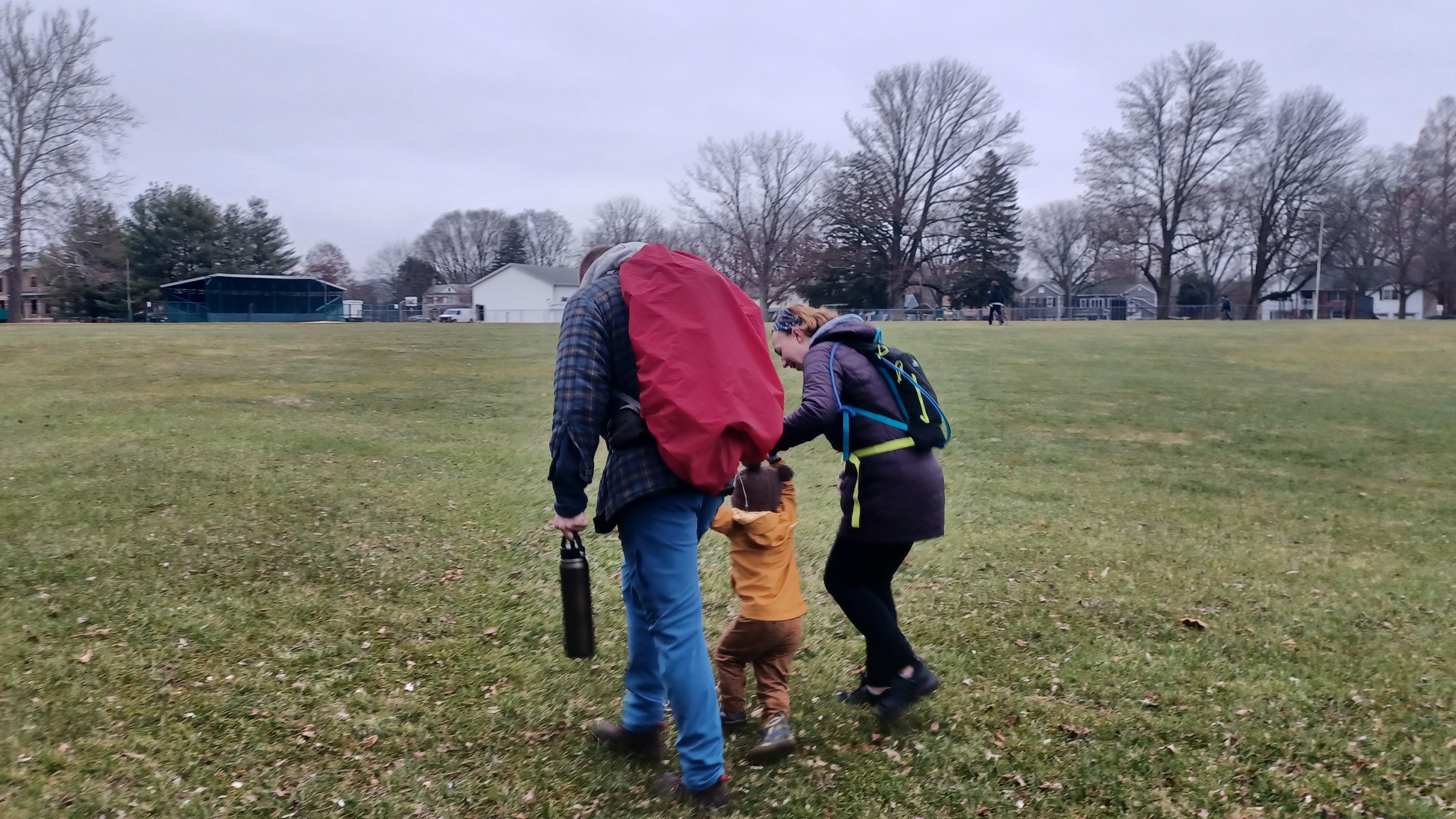
We walked past the baseball diamonds, and then cut to the left a bit where we had a break near the edge of Arch Street. I took the opportunity to change Ev's diaper again, because he'd made a mess of it pretty recently.
Once we were ready to go, we continued across the street directly into the Arches Section of the South Branch Reservation.
There was a short trail through this section that led along the river, which was pretty badly washed out on this date, but we managed to get the stroller through it with some help anyway. I should have just kept it on the road, because the section really wasn't much of a point.

We continued on Arch Street ahead to the double stone culvert that carries the former Central Railroad of New Jersey high above.
The historic High Bridge for which the settlement takes its name was the High Bridge that stood here. The line came to the location around High Bridge about 1852.
Soon after completion, the giant trestle would sag when trains would go across, apparently because they placed the piers a bit too far apart. It was decided in I think 1859 that it would be backfilled in favor of the culvert, which was completed in a few years.

Prior to that, the settlement went by different names, including "Solitude" supposedly coined by John Penn, last royal Governor of Pennsylvania, who was held under house arrest at the Solitude House in High Bridge to keep him, and his assistant Benjamin Chew, from stirring up political trouble in Philadelphia.
We continued along Arch Street, and soon passed by some of the old workers houses on the right. Three almost identical buildings were there, which at one time were home to Russian immigrants who worked at Taylor Wharton.

We continued to the end of the street, and then turned right on Washington Avenue parallel with the former Taylor Wharton place. We continued to the intersection with Nassau Road, and the Taylor Steelworkers Historic Greenway crosses there. This was a trail I worked with Bill Honachefsky, Mike Gronsky, and others from Union Forge Heritage Association as well as Metrotrails to develop.
We descended a bit to where we could see the historic Solitude House, and then turned left on the trail past the former site of the Bloomery Forge. Just past that, is the grave of my old buddy Kyle Zalinsky, who died in May of 2010. We put his ashes under the stone in August of that year, and I carried the grave stone across the bridge he helped my friends and I to rehabilitate nearby. We took a little break there and I told the group a bit about Kyle while sitting in his memorial bench.

We moved on, turned hard right, and then crossed the circa 1890 Carnegie truss bridge over the South Branch of the Raritan, which has a plaque on it bearing all of our names that helped to repair it. The decking is getting somewhat bad now, 14 years since we did the work on it, but there has been some patchwork done.


 |
| Pond at Voorhees in the 1980s from my family collection |

I would love to engage with the art community and usher them over to Spruce Run Recreation Area to have a grounds for arts, since they may never have swimming again. That area has already been landscaped beyond most any historic significance, so having a sort of art garden and botanical theme would be excellent to draw public interest. I want to encourage art, but I also don't want to see the historic buildings endangered, or render them ineligible for grant money.

We continued from the TISCO building on the yellow blazed Taylor Steelworkers Historic Greenway uphill parallel with the South Branch of the Raritan, where we got a good view of the Solitude Dam.
This is the earliest example of a steel reinforced dam, and the only remaining buttress dam in the State of New Jersey. It was built in 1909 to replace the 1858 crib dam structure built to provide water power to the Taylor Iron and Steel Company.
The trail continued uphill from here, and out behind a sign I built as part of the staff with Hunterdon County Parks, denoting the connection between the Columbia Trail and the Taylor Steelworkers Historic Greenway.
The Columbia Trail is the former High Bridge Branch of the Central Railroad of New Jersey established in the 1870s. It was lost to Conrail in 1976 and is abandoned as far as Bartley.

I hate the name "Columbia Trail" for the line. It should have been the High Bridge Branch Trail rather than that, because there is confusion with the Paulinskill Valley Trail, another rail trail that ends in Columbia NJ, and because it should not be named for a gas line that had been there less than ten years, rather than the railroad that had been there for 100. Regardless, I always refer to it as the High Bridge Branch rather than the actual name because of that.
We continued on the grade to the east a bit, to a grade crossing to a driveway to a few homes. We turned left there, and made our way uphill to Mine Road where we turned right.

Mine Road is like a step back in time, save for pavement. It doesn't have lines in it, and has many very old homes. The 1870s atlas of Hunterdon refers to these as "miners dwellings". Of course, this was where the miners lived who worked for the company.

We continued through the pleasant neighborhood, and uphill steeply on to Cokesbury Road. We continued up Cokesbury steeply to Rt 513, then continued across on Cregar Road.
After a short bit on Cregar, we turned right on Fine Road and made another steep ascent into Voorhees State Park, named for former Governor Foster M Voorhees who made the first donation of land for the park in the 1920s.
As we walked up the road, I pointed out that one of the side roads from Fine Road was "Super Fine Road", and that it was a legitimate road name. I always found that hilarious.

It was rough for me pushing the stroller uphill all of this way. I didn't count on it being as much work as it was, and it was not nearly over yet. I'd get more of a workout on this one than many recent ones.
When we reached Observatory Road, which was originally known as Hill Acres Road, for the Voorhees Estate that was known by that name, my plan had been that we would follow the pink blazed Vista Trail up from there to the top of the hill near the campgrounds. However, that trail is quite rocky. I wasn't going to have an easy time with that with the stroller. Although I knew the group would help me with it, I chose instead to stay on the road and head up.

Some of the group stayed with me on the road instead of following the trail, but the two are closely parallel and much of the time within sight of one another.
Once we got to the very top of the hill, the pink blazed Vista Trail came back out to the road, right across from the observatory itself.
Back together, we continued on across the road and onto the Solar System Trail. This trail weaves through the woods from the observatory to the overlook area to the south side of the park, with interpretive panels on each of the planets along the way.

I was able to push Ev in the stroller rather easily through most of this, and we emerged at the overlook. From here, where there is parking, there is a view of Round Valley Reservoir.
From here, my plan was to go across Voorhees State Park partially on Hill Acres Trail, which was mostly a woods road. However, the very west end of it is a simple foot path with some clearance issues. I decided that rather than follow that section, we would make our way into the campgrounds on the access road, and then take the connecting trail from there to Hill Acres Trail to make the walking with the stroller a bit easier.

As we entered the campgrounds, someone had torn up tons of notebook paper and such, and it was strewn all over the entranceway. There was way too much for us to pick up or I'd have done it.
We continued through the campgrounds, and then descended slightly, with a few rocks, to reach the Hill Acres Trail. There were some "tree cookies" laid on the ground for traction devices in wet areas.
We continued somewhat easily across the bulk of the park there to the connection with the Parcourse Trail. Here, we turned hard left, made our way along the backs of fields off of the Loop Road, and then to the intersection with the Highlands Trail.

We turned right briefly on the Highlands Trail to reach the Loop Road. From there, we crossed over somewhat directly, and then over to the 1930s Civilian Conservation Corps pavilion next to a former pond. It was a nice little spot for a rest, and to promote the work of the CCC, which had an encampment in Voorhees.

This was a good spot for our group shot, and we made our way from here downhill and onto the Brookside Trail. That trail descneds from the pavilion, crosses back over the Loop Road, and then makes its way toward my former boss Walter Rittger's house. It then turns right and descends somewhat to a point within view of and above the Willoughby Brook.

We made our way along this pleasantly. It also was not too tough for the stroller to get through. We continued on this until the Hollow Trail broke off on the left, for the second part of it. The first part cuts off earlier and goes closer to the brook, and crosses it twice.
We got on this trail where it passes through woods and over little springs that feed into the brook. We emerged into the fields that are accessed off of the Loop Road, and then turned right uphill through the middle of them into the group rental area.

Once we reached the parking area, we followed a paved path past the rental pavilion, near the closed restroom, and then back onto the Highlands Trail. This led through grass past an historic barn that is used for equipment storage. From there, the trail makes its way around a galvanized railing onto the edge of Rt 513 and follows that for a bit.
We continued on 513 for a bit, and after a few homes, we passed by the Bunnvale Assembly of God.
We cut through the back of that building, and then made our way through lawn out to the local library.

This was the old Bunnvale School in the little colloquial settlement of Bunnvale, Lebanon Township. It was constructed in 1915 and used as the local library since 1978.

The school closed in 1954 and saw occasional use through 1963 when it was permanently closed for that purpose.
We continued around the school building, and then continued on Bunnvale Road heading uphill. We continued only to Rocky Run Road, and turned to the left.
This road was one final ascent. I don't know how I was doing them, because I was getting extremely burned out.
We continued up the road until we got to the intersection with Berk Lane. We turned to the righdsdt, and got to where there was a more level terrain.
Berk Lane was actually quite pleasant. It was another road I had been considered. We made our way up the road for a bit, and then turned to the right when wes got to the end on Hill Road.
We continued on Hill Road only very short distance, and then turned to the right on a private driveway to the south just a little bit.
We walked only a short distance on the driveway, and then came to grass on the left side. A quick walk up into the grass led us to the paved trail that passes through the Lebanon Township Memorial Park.

I'd passed through this park on hikes in the past, but we'd never tried to follow this path as part of it before, so that was rather nice, and we made our way to the pavilion in the middle of the park, where I'd attended many family and other gatherings, including some of my history presentations.
It started raining steadily while we were in the park, and so the pavilion was a good place for us to take an extended break, and to let Ev run around again for a bit. I was also able to change his diaper with an available garbage can, which is always a good thing.
We eventually headed out, and went past the very nice 911 memorial, which is one of the nice ones made with actual World Trade Center steel, and not building 7. It's a two story piece, beautiful in its simplicity.
We followed the trail that passes from the memorial out to the main entrance, and then continued walking out to the middle of the settlement of Woodglen, once known as Irondale.
As we were walking from the park, Bill Honachefsky pulled up to us in his truck to ask if we wanted a ride. Surprisingly, no one took one, and we continued the hike.

We then crossed Hill Road again and followed Red Mill Road to Newport Road in the rain. Ev had his stroller cover, and I had my poncho, so we were doing alright.
We turned right on Newport Road and then arrived at my Aunt Pam and Uncle Ken's house where they had some food and drinks out for us.
This was a really nice time, and they are always very gracious to our group. A lot of the group hung around this time instead of leaving early like had happened in the past, so that was nice as well.
The plan from here was that we were going to go up past my grandfather's house to Point Mountain South, but at this point, we had already hit fifteen miles, so I was fine with cutting it short here. We got rides back to our cars, and were able to just hang out and have a nice time for longer.
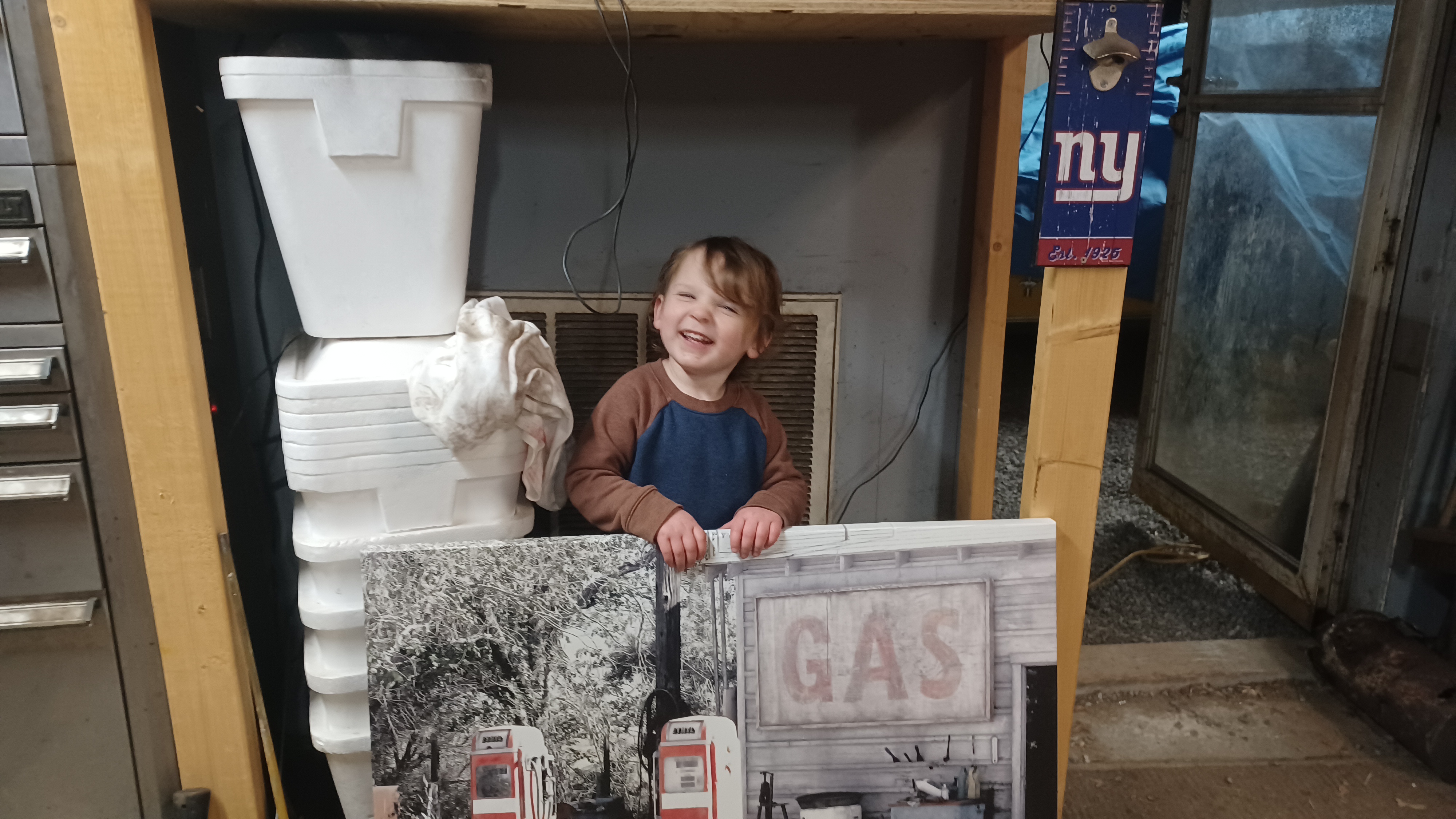
Ev had a great time running around, eating, and playing with garage stuff with Aunt Pam and Uncle Ken.
We did really well for only having the last couple of miles in the rain, and hitting a whole lot of historic sites, as well as a lot of important points of future developments. I was quite happy with how it played out.
No comments:
Post a Comment