

Hike #1580; 11/26/23 Oradell Loop with Diane Reider, Justin Gurbisz, Lynette Rohrer, Violet Chen, Alyssa Lidman, Robin Deitz, Jack Lowry, Sarah Jones, and Everen

This next hike would be the next in my ongoing Hackensack River Watershed series, this time featuring stuff around the Oradell Reservoir and north of New Milford where we looped back last time.
This series has been particularly interesting because a lot of it is stuff no one really would consider hiking, and there's really a lot to see even if there isn't a ton of trails.
For me personally, it is areas of the state I am less familiar with. I know the entire state very well, and having walked its entire perimeter, I probably know places better than anyone, but there are still curiosities in between other corridors I have done that I want to learn more of. This was certainly one of those hikes.

I chose our meeting point to be CareOne at Oradell, some sort of medical facility. From there, I had a crazy route planned that would be back streets interspersed with little parks.

The parking area was right along the Jersey Transit tracks, and a train went by while we were there.

We headed out from the lot heading west on Soldier Hill Road. Not the greatest road because there was barely a shoulder, I was glad this would be out of the way fast.

We continued up the road for a ways, and eventually came to where it crossed Van Saun Brook. There, the Lotus Woods Nature Walk headed in along the brook.
The first leg of the trip was to follow this stream and trail to the south. The park is only about five blocks long, but was actually quite pretty.
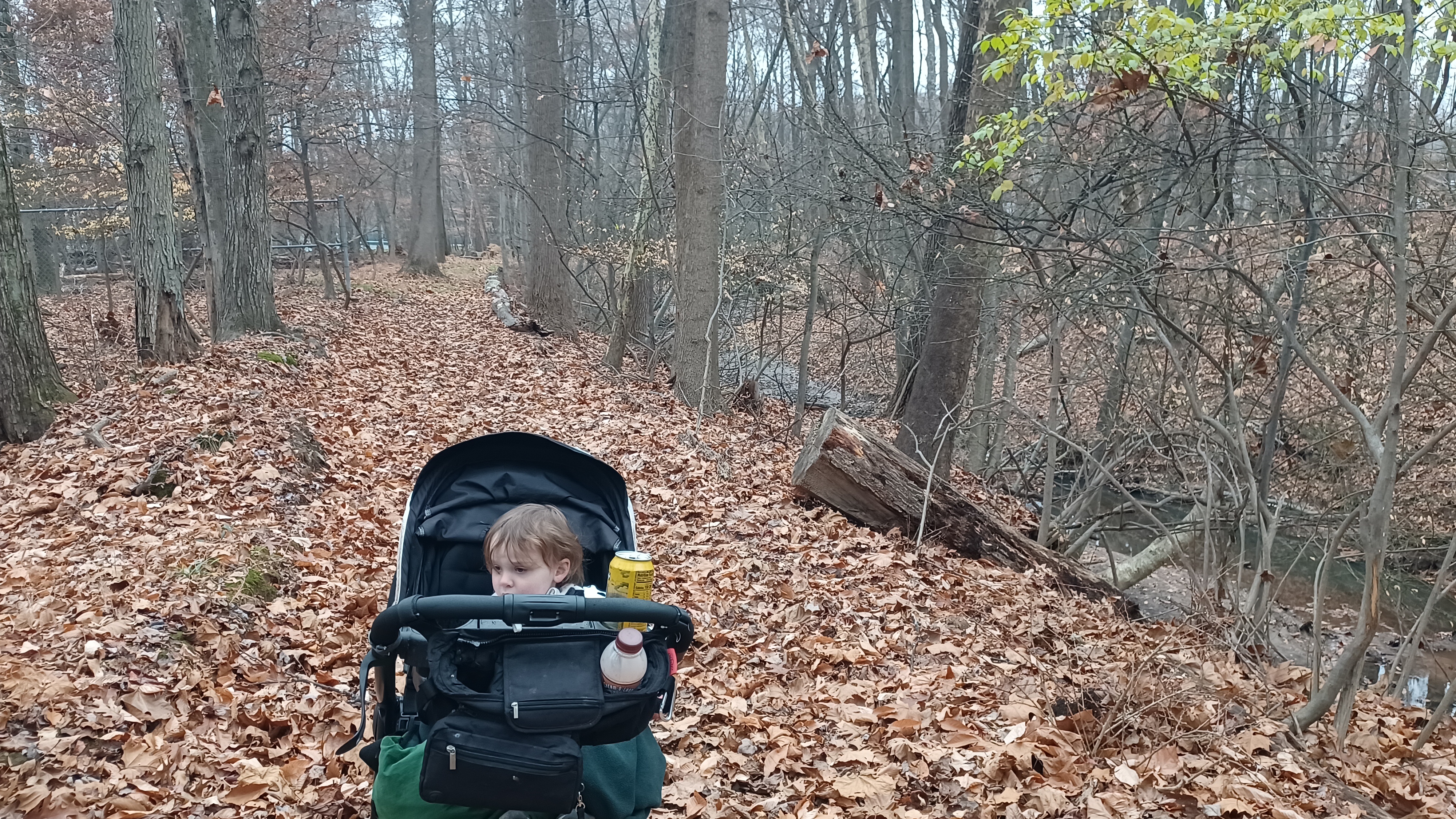
It was just a simple foot path that went through these woods, and I let Ev stay out of the stroller from this point since it was safer.

I had him dressed up in his cow Halloween costume Jillane had made him since it was warm.

The tributary here flows to the south and eventually joins with the Coles Brook, which joins the Hackensack River directly at Historic New Bridge Landing.
Ev needed a hand at some of the spots where the reek was eroded out with a large fall on the one side, but he's getting more sure footed all the time.
We continued on this creek greenway south, and it took us out to Amaryllis Avenue. The stream continued on the other side, encased in this sluice of stone or concrete, inaccessible.

We turned left and crossed the road, then continued to Seminole Street. I let Ev stay out of the stroller since there was good sidewalks, and he stayed with the group.

We continued to the south about three blocks and reached Oradell Avenue. We turned slightly right a short distance, and there was an opening across into park land adjacent to Coach Muehleck Memorial Field.
This was a sort of beat looking park area. A pond was just into the woods, the old Oradell skating pond. There were signs up on it specifically saying "no skating". It kind of looked like a joke, because it seemed no one in their right mind would skate on the muck and weeds we were seeing.

Ev went back in the stroller for this bit, and we continued on a faint path that went to the left, east side of the pond. Beyond that, there was a second smaller pond, which we agreed was probably the ice hockey pond.

Although it was even more overgrown with weeds than the previous pond, it did have a set of bleachers facing it on the one side, so we were probably correct in assuming.
I checked the 1876 atlas maps of Bergen County, and this area was shown as the former site of a spring on the Van Saun Brook.
We turned to the left at the end of the second pond, and there was a very juvenile sign where someone had spray painted "poop" and "pee" on it.

Just as we were coming out to fields, there was a little stone building on our left. It looked at first to be quite old, but I didn't know what to think of it.

It looked like it was made fine cut stone, not the typically more haphazard style we see as middle filler blocks on CCC.
I came to find out that this was known as the "Brownie House", or Girl Scout House, and that it had been created to act as a club house for the group.
The building did seem to have a poured concrete foundation, but I figured that might have been just some improvement made around the outside. I couldn't believe that this fine cut stone would have been anything really twentieth century.

When I posted the photos of this hike on the Metrotrails Facebook page, Tim Adriance, who lives locally, commented that he knew of places in Oradell where stones were reclaimed for the historic Brownstone Tavern in River Edge and built into other structures.
 |
| Historic view of Brownstone Tavern provided by Tim Adriance |
This would absolutely explain why such fine cut stone appears here.

The old Brownstone Tavern stood where the town hall in River Edge is now. Mr Adriance also suggested that perhaps the stone might otherwise have come from the historic Brower House, which stood on the corner of Kinderkamack Road and New Milford Avenue.
If there is indeed historic significance to this site, it would be nice if there was some sort of documentation making note of it.
I wouldn't expect much here, because not only were the aforementioned ponds not kept up at all, they didn't even have a sign saying what the name of this park area was at any of the access points that I could see.

We continued around the old stone structure, and then into the ball fields heading southeast a bit. This brought us to the corner of the park, at the Oradell Veterans Memorial.

We continued around this to the corner of Prospect Avenue and Park Avenue. We crossed Park and headed south along Prospect for a bit.
We continued south to the intersection with Schaefer Ave. Here, we turned to the left for a short bit.
We went one block to the east, to John Street.
At the ninety degree bend where John became Mackay Street, we cut directly onto the lawn of the River Dell High School. Here, we headed across a large baseball diamond, and then skirted a smaller baseball diamond, then emerged in a parking lot.

I think we headed out of the school property via Fifth Avenue, and then reached Midland Avenue a block to the south where we turned to the left.

After a very short distance, we turned right off of the road into the property of River Dell Middle Schoo, where there was a giant Pin Oak tree at the corner of the property.
We continued to the south along baseball and soccer fields, and then turned to the right, closer to the building, to follow the sidewalks out toward Woodland Avenue. There was another very large Pin Oak at the other end of the property.
We turned right on Woodland Avenue only a short distance, and then left on Millbrook Road, which was more of a paved trail between Woodland and Wales Ave, that connected with Millbrook Road at the south intersection.

We turned left at the end only briefly, and then right onto 3rd Avenue.

In a short distance, at the end of 3rd, we reached the entrance to Veterans Memorial Park, which had paved trails through it.

There was a particularly large Northern Red Oak right on the trail to the right as we headed in.

We continued south through the property, where at one time there was the large Oradell Ice Rink. Ev walked through this section on his own mostly again.
The park cuts through two dead-end bits of Webb Avenue, and widens to the nicer, more manicured section, where the north bit is just ball fields.
We came out to Continental Avenue and turned to the left for just about a block and a half, and someone found balloons somewhere to to Ev, which he carried around for a while.

We affixed the balloons to the stroller, and they remained with us for all of the 12 more miles we had to go.


We turned to the left into the fields of the Roosevelt Elementary School, which we visited on a previous Hackensack River Watershed hike, and then stopped at the playground there again.


Ev ran around and did some sliding here, while I went over some more of my maps to determine our exact trajectory. I also gave him a diaper change to make use of the trash cans.


After our break, we headed north through the property, and then to the right, around the north side of the elementary school, onto a walkway out to Summit Avenue.

We turned left on Summit and headed north about a block, and then turned to the right along Webb Avenue. This was a really nice one because the descent toward the Hackensack River was all old paver roadway.
We turned left at the bottom on Kinderkamack Road, and then right on River Edge Road. We descended a bit more and soon approached the old Erie Railroad station.


The original station here burned as a result of spark from a locomotive in 1901. The current station replaced it in 1902.


The house was purchased in 1864 by George Bloomer, a coal and lumber dealer. The settlement was then known as Bloomer's Landing. It was at one time also known as Old Bridge, because the New Bridge (of Historic New Bridge Landing just to the south a bit brought that about).
Sadly, the home looks to be vacant, in a spot that is today more prone to flooding than when it was built.


The water plant is situated on Van Buskirk Island, a man made Island the Hackensack River created in 1802 through the creation of raceways to serve various types of milling operations. Mills were in operation at the site dating back to colonial times.

The historic plant with intact 1911 steam equipment was taken out of service in 1990. Bergen County Division of Historic and Cultural Affairs hopes to redevelop the site for public use and interpretation. It is apparently known now as Van Buskirk Island County Park.


Just a little further ahead, there was a nice boating access and dock into the river that we checked out. We were able to walk through some grass from here along the west side of Elm to a regular boat launch, where the two little flows of the Hackensack River initially diverged.


Immediately on the other side of the bridge, on the left, was the Hackensack Nature Trail, a short hiking trail that went into a little swath of land between Elm Street and Grove Street, which intersects just ahead.
We walked into this trail, and over to Grove Street. I had to stop to pee pretty badly, took some photos of the old bridge from the better angles, and then met the others at the end of the short trail near a private house. We continued up Grove Street to the north, and Hague Park was at the end of it on the left, at the intersection with Oradell Avenue.

We walked through a piece of the park, and then turned right on Oradell Ave. Ev fell asleep some time a little earlier than this as we walked along.

There are three dead end streets that go up close to the Oradell Reservoir, but we didn't bother following them because the Google street view showed most everything was fenced in. The dam that impounds the Hackensack River here is just a bit north of Oradell Ave.
We continued east just a bit, and then turned to the left on First Avenue. We continued through a rather new development to Grant Avenue where we turned left.
It was something that these streets mostly have sidewalks, but we got to the one that actually went up to the reservoir, where people might want to walk, and there was no sidewalk.

Soon, Lake Shore Drive broke off to the left from Grant, and we turned. There, we came to our first really good views of the Oradell Reservoir on our left.

There was originally a mill pond on the Hackensack River where the reservoir is today. That might have dated back to the 1700s.
That original mill pond was dredged and first used as a public water supply in 1901. It was enlarged with a rock and crib dam in 1911, and work began on the current dam to create the reservoir in 1921. The reservoir was completed in 1923, a century before our hike here along it. It was certainly the appropriate time to be hiking along it.

We continued following the road to the east a bit, past the Veolia Haworth Water Treatment Plant.

There was a bit of a little park type of thing with walking paths in front of this. The road was not all that busy, but there was also no shoulder, so I pushed Ev over into the grass on the right side of the road.
There were some lines of evergreens and such ahead that were good for pushing through.
Pretty soon, we passed the entrance to the Haworth Country Club, a big golf course on the east side of the reservoir. Fortunately, it did not block off access to the edge of the property, and there is a trail that follows the south and east side. This trail was just the closed section of Lake Shore Drive. In fact, the road still has that same name at either end of it.

It was a pleasant path most of the way, which was always far enough away from the golf course that it didn't feel like any sort of forced beautiful thing.

The place could actually have used some attention as far as feeling welcome is concerned. This is a water supply reservoir, and there was a porta-john knocked over out there on the trail. Chain link fences blocked any closer access to the actual waterfront, but nothing would bar anyone from going in there either.
We continued along on this pleasant bit, and eventually came to a point where there was a wooden sign with a map on it. A yellow trail was shown breaking off of the main old road trail to the south. However, this side trail was blocked by so many fallen trees right from the start, there was no way I was going to take a chance trying for it.

In addition to the trail, I noted that there was another sort of grade inside the woods besides the road route. This might have been another earlier road route, but I'm not sure.

We reached the end of the cloed portion of the road, having passed only a few other people walking it, and continued ahead on the open portion for a bit.
Soon, there was another parking area on the left, a chain link fences, and a chain and pipe blocking it from people being able to park there. Alltrails shows that there is a trail that goes from here out to the next road, which I had been hoping to use, but it was totally closed.
This was sad, because it looked like a good wooded section, and there was even a footbridge in view on this trail from the lot.

Disappointed, we had to continue on the road to the east a bit further.


From the track crossing, we could see to the north to Old Hook Road, which was where we needed to get to. Walking the road to the east would only be a little bit farther, but I still wanted to walk them.

In the end, I decided against walking the tracks because I knew them to be so heavily used. Although we hadn't seen much of it, we heard the trains going by on it very well.
We reached and turned left on Schaalenburgh Road, just about where the name of the previous changed to Durie Road.
We walked up the road just a short bit, and soon came to an obviously historic and beautiful brownstone and brick home on the right side of the road.

One thing I love about hiking Bergen County streets, is how many old Dutch or colonial homes we come across hidden in front of our eyes in developments.
This one was the historic Durie-Turnure Homestead in the Closter NJ.
The farm here was settled by Jan Durie, where he erected a home in 1718.
This home is noted as likely having been built by his grandson, John Durie around 1800, as he was married to Margaret Brinkerhoff in 1804.

However, the home reportedly contains a 1718 date stone incorporated into it. Either the home, or part of it, is the original farmstead, or the original stone was incorporated into the newer building.

The home was sold to the Homan family in 1870, and the Ternures in 1876.
We continued on the right side of the road for some time, and there were a couple of older houses interspersed between the newer ones along the road.
We turned away when we got to the old Schraalenburg Farm. I cut left into the gravel lane, and used the property to cut the corner over to Old Hook Road.
The Farm Cafe on the corner there looked really good, and I was tempted to try it. I actually want to do another hike in the area and try it out, but the problem is, this is a rough spot to get through with the stroller. I just didn't realize it yet.

We headed west on Old Hook Road, which soon crosses over one of the northern fingers of the reservoir.

We saw a closed gate to the left, where the trail I had wanted to hike closer to the reservoir comes out, but even if we'd been able to get in, we couldn't get through from here.
Traffic was coming at us like crazy. We needed to get across the bridge, but it was just too much. We would have to time it rather well to get through.
If I could push along the road quickly for just a short time, I could soon get off on the grass on the right side.

The group helped me lift the stroller over the railing, and we hurried quickly across the bridge. Some of the group stood close and out into traffic a bit in order to signal anyone that might be coming that we were walking there.

Fortunately, we chose the right time, and no cars came while we made this move. Soon, we crossed over the road quickly, and I was able to get Ev and the stroller over into the grass and out of harm's way.
After we got away from the spit of land that was out on the water and entered some woods, I had to push Ev along on a bit of a slope. There were a couple of old driveways going back to the right, some of them still somewhat used.
We continued on along the road for just a little while longer, when we reached the Allegro Senior Living of Harrington Park NJ on the left. We had to dash across the road again, which wasn't bad, to the facility.

We turned to the right, onto the grass, and walked along the front of the building, which was beautifully landscaped,
I remember some of the group saying they might even look into it for possible future personal use!
We weaved around the building on the pathways that were there, and made our way around to where there was a really nice view of the Oradell Reservoir from behind it.
We continued on to the grass and back of the parking lot in back of the place, and then turned to the right, skirting the property edge.

I saw on the Alltrails page that there was a trail that nearly passed through to this point, and even Google maps showed one coming somewhat close. I could see on the aerials when I was planning this that there was something there.
I figured we'd see if it was possible to get into, and sure enough, it was. We easily walked back this nice and clear lane, which had only an occasional tree down where someone would help lift the stroller.


We continued through woods until we got to a chain link fence and gate, where the trail emerges to a parking area, but it was closed off!
We had to turn to the right on another path that followed the fence closely. It eventually came to where Lakeview Terrace, a little side road with a house or two on it, came toward the fence, and turned to access the aforementioned parking area.

It was easy to just walk around the fence up there, but it was rather strange that all of this was shown mapped, but we couldn't officially get into it.
Once we were around the fence, we turned left around and back down the access road to the parking area again.
There was a trail down to the water itself, which had no trespassing signs on it, and a hole in the fence on the other side from where we were. I was not going to fit the stroller into that. There were also lots of no trespassing signs around the fence line, but there had been absolutely none where we walked in.

There were signs and painted rocks with flowery nice wording laying about here.
A routed wooden sign welcomed us to the Emerson Enchanted Forest. We found more painted rocks, and I found a cheap tree cooking type thing that looked to have a saying on it, but was actually an advertisement.

It was good to hear, and actually therapeutic, because it led to my own thoughts on how important it is to not become all-consumed with everything that isn't going quite right. Not just in terms of personal adversity, but even activism items that we're passionate about. If we can't take a step back and recover from whatever emotional dismay these things bring about, we're no good to those initiatives.

Google maps showed a trail going through this, but it was not really there in person. It might have been at one time, but it did show it terminating at a private home.
We had to cut directly through rough woods, but we did come out to Palisade Avenue.
We turned only slightly, and then cut through more woods on an abandoned section of road that led us down to Randolph Ave, and we headed to the west for a few blocks.
We turned right when we got back Clinton Street, and returned to Palisade Ave. We turned left briefly, and then right up High Steet to a park on the left, with large ball fields. We turned left into this and slightly downhill for a bit heading west.
 |
| 1909 photo by J. E. Bailey |
We turned slightly right, and then left onto Kinderkamack Road to cross the tracks at grade, and the Emerson Station was just to the right of us.
The station stop was established here in 1870 under the name Kinderkamack.
The settlement name was changed to Etna in 1877, and the borough of the same name was established when it broke away from the Township of Washington.

On this day, only 5 cars were in the lot. Even on Google Maps, only 173 cars occupy spaces. It makes one wonder what the future holds for such a place.

We had about a mile remaining in the hike at this point, and almost all of it would be in these long parking lots. The first 1,500 space lot was not connected to the next couple of them, but it alone was 0.3 mile long, and with the others that were nearly as vacant, it comes to about a full mile.
All of these parking areas are directly along the edge of the Hackensack River, separated by only the tracks. The amount of runoff associated with this, and how places like this have contributed to the flooding of the river downstream are mind boggling. Ever since the pandemic, people working from home make large office buildings like these pretty much irrelevant.
We had to cut back up to Kinderkamack at one point because there was too much a line of trees between lots to go straight through, but overall we stayed in lots and went left again directly into the back of CareOne, and headed to our cars to conclude the hike.
Days like this are always really great, and the Hackensack River Watershed series has continued to be an outstanding and very different experience, each time.
I feel as though I could create a really interesting video documentary on experiencing the Hackensack River. Maybe one of these days.
No comments:
Post a Comment