

Hike #1467; 1/30/22 Chatham/Great Swamp Loop with Brittany Weider, Justin Gurbisz, Elizabeth Manner, Robin Deitz, Jim "Uncle Soup" Campbell, Elaine ?, Diane Reider, CJ ?, Professor John DiFiore, and Serious Sean Dougherty
This next hike would be a big loop out of the Chatham area that I'd devised by accident while doing another hike with my little son Everen. It's really the story of two different adventures, and I'll need to relate both of them to fully cover everything.

The previous hike put me at close to twenty miles, but I didn't number it because I was the only one walking (only the trips with another participant get numbered, and I don't really count my son yet who didn't walk and wasn't really conscious much of it).

That first one was following a doctors appointment for Everen in Morristown. Jillane and I went there, and I came up with a loop hike that would be from the appointment area along Patriots Path, Traction Line Trail, and the entire Loantaka Brook Greenway. I thought it would be a fantastic loop, and so we started off.
We walked on through the Frelinghuysen Arboretum, and up to Acorn Hall on the Patriot's Path spur when Jillane was tired and overheated and said she needed to stop and go back. It really wasn't hot out at all and I didn't want to quit at all, but at this point I needed exercise and was hell bent to do more. I told Jillane that since she was leaving, and would pick me up later, I was going to walk like twenty miles instead. She could just pick me up wherever.

So, I did my hike as planned and followed Traction Line Trail out toward Chatham, then when it ended I headed down toward Giralda Farms, where I'd heard it was possible to walk through. It wasn't, so I had to walk around the east side of it to the south.

I continued from Woodland Road onto Loantaka Way heading kind of to the south, and had to cross quick because there wasn't a lot of room for a stroller. It didn't look very good ahead either.
I had already done a lot of the stuff through the Loantaka Brook Reservation, and didn't really feel like doing it alone. I wanted some more adventure, and I could scout it for a group hike and enjoy myself a lot moe.
Instead, we turned left onto Shunpike Road. These roads are named such because they paralleled the old turnpikes, where travelers who shunned the tolls would travel, but usually it would be much harder.

This road was much harder for me for sure because there was barely a shoulder I needed. It was okay at first, but then it was difficult for me to push Ev in the stroller. I had to be really careful and constantly pull him off to the side as cars came. I couldn't wait to get off of that.
I took this road to the Shop Rite of Chatham, which was much more relaxing, a bi level store front that was interesting for the walker. I figured this would be a really good route for a group hike, and a really good place to meet for one.
I didn't know when Jillane would call ready to pick me up, so I just meandered a bit, bought a slice of pizza, and checked out the stores. I pushed Ev into the CVS and bought an Arizona RX Energy drink and a candy bar, then went around to the east side.
It was on that side I came across a liquor store, which I guess was Hickory Wine Cellar. I decided to push Ev in there and see if there was anything I hadn't tried before.

I was so happy that I'd went in. I found two really interesting things. One was the Breakdancing with the Czars Russian Imperial Stout, and the other one was even more delicious called Conspiracy Theorist. I brought them on the next Maybrook Line hike we did after I did this hike, but I did end up sampling one of each first.
From this point, I went over maps and tried to decide what to do. I could push Ev up through the towns, or I could head to the east a bit more and then try to cut into the Great Swamp.

I decided I would follow Southern Boulevard from the store to the southeast, and then take the entrance to Morris County's Great Swamp Environmental Education Center. It was a ways to go, but I figured if Jillane called, I'd be close by.

We got into the access road and then started walking the boardwalk trails through the thing. I knew there was a power line on the south side, and that it had an informal trail on it that I'd wanted to try to follow, so we went over toward that.
I was shocked to find that the entire power line was done over with an amazing plank roadway, elevated above the wetlands. I pushed the stroller out onto it and found that overall, it was easy to walk. Occasionally, a stroller wheel would go oddly between the boards, but if I was conscious enough about it, we could go a ways.
The sun was starting to go down slowly, but I had maybe two hours of daylight left. I looked at Ev and said "Well...here we go kiddo", and pushed him down the plank way.
If we made it an hour and it just ended, we could just head back. This looked far too cool to pass up the opportunity. I even passed some workers with trucks while I was out there, and none of them gave me a hard time for being out there.

I cracked open one of the Russian Imperial stouts and sipped it as we went down this walkway. I was shocked to see that I could get all the way through. I crossed Long Hill Lane, and it just kept going. So did I.

I walked and walked, and eventually came out at the intersection of Crestwood and Meyersville Roads. I turned right there, and walked all the way into Meyersville. There is a tiny traffic circle there, and it was just a lovely little spot. I considered stopping at Casa Maya and getting some supper, but I also wanted to see how far I could get.

I turned to the left, and started following Gillette Road north over the Watchung Mountain, which was steep even for the road. By this point I was drinking my Conspiracy Theorist drink, and Jillane had called me about where I was.
I told her I was heading to Gillette Station, and so she just started driving that way. As if by some miracle, she happened to drive by on this tiny back road I chose, and picked Ev and I up before I reached the top.
I was so enamored by this boardwalk section on the power line, and the fact that I just walked across the entire southern side of the Great Swamp with it, I just had to do a group hike on it.

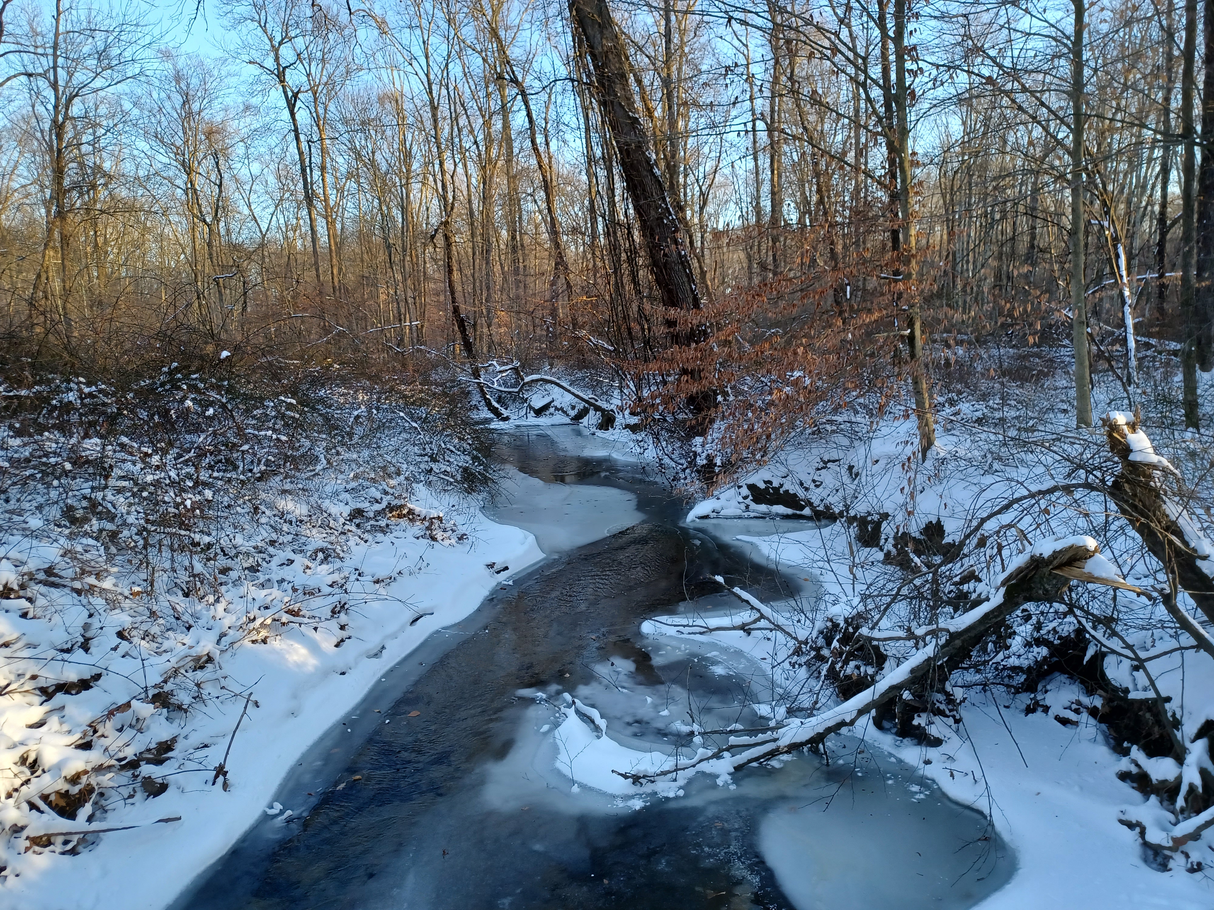
I wanted to do it when there was no snow, but unfortunately there was no avoiding it this time. I had a backup hike ready to go that would be more urban if I needed to, and I checked the depth when I got to the Shop Rite parking lot. It actually wasn't really bad.
I was sick of the snow. All but the first January hikes I had done were in the snow, and I just wanted it to be clear, but this was not too much of a drag.
After meeting at the Shop Rite, my group utilized store quite a lot. It was really cold at first, and we kind of hung out in there, I think Brittany went in the basement, I forget what else happened.

When we finally did get moving, we walked down Southern Blvd for a bit. When we got to Nash Field, a little ball field park to the right, we bushwhacked through the snow out of the back of it because I thought maybe we could make our way back out of the woods down the road a bit. This was a dumb move because of course it is the Great Swamp back there, and there was a ton of snow. Even if there was a way through when there wasn't snow on the ground, that was not helping us this day.
We continued back out to Southern Blvd, and then soon paralleled the Fairmount Country Club. We walked along the left side of the road and up onto the golf course paths a bit right along the road. There's a nice pedestrian path parallel with the road there.

When the golf course continued on the southeast side of Southern Blvd, we opted to walk right out across it. Usually, I only walk across golf courses at night, but with all of the snow, I figured no one was going to care nor would they follow us.
There were some beautiful waves of snow from the wind hitting it at different angles. It wasn't really very deep except or where it drifted a lot, so this was all pretty easy.
We headed to the southernmost tip of the golf course, and then cut into the woods directly along some springs, which were pretty easy to step over. There were some thorns back in there, but we were able to navigate through them okay, out to the access road to Morris County's Great Swamp Environmental Education Center.
We simply walked the access road here out to the trails. We went down a short one to the right first to a viewing area over the swamp which is really nice. I really want to do almost this same hike again when there's no snow, because there's so much to see.

The Great Swamp, as everyone thinks of it, is just the National Wildlife Refuge. It was planned in the sixties that it was to be filled and become an international jetport, but grassroots opposition similar to what happened in Delaware Water Gap with Tocks Island led to the plan being nixed.

Today, that national wildlife refuge is pretty nice and there's still a lot of it I have not yet explored, but there are also two other tracts that are not part of the national land. Morris County's Great Swamp Outdoor Education Center was one of the places I had never incorporated into any of my hikes before, so we were finally getting to some of this. On the west side, Lord Stirling Park is one of the best sections of the swamp, and it is part of Somerset County Park system.
We continued south over nice boardwalk trails and past a wildlife observation blind. When we came close to the power line with the plank road on it, we hopped over the fence and started heading to the west.

I was glad to see the plank road was still there. I don't know how much longer it will be, and that was one of the reasons I decided we would have to do this one fast, regardless of snow. These board areas get removed and recycled into other locations for power line upgrades.
In this case, the big old iron ladies style were being replaced by giant Y shaped ones (I call them Nixons for his "I am not a crook" pose).
The only thing we really had to watch for while walking this bit was openings or other holes in the planks. The snow covered those over pretty well, so we did have to face some trip hazard. It was much easier to see them when I was pushing the stroller with no snow.

There was a big machine parked out on a wide area near one of the poles, which I got up into. Justin also tried it out. We moved on ahead and crossed over Long Hill Lane next.
The route of the utility clearing is not really an official trail at all times, although in some areas it is, so going over this road was something that is not particularly encouraged. It goes close to one house. I told everyone to hurry across the road and to stay quieter when we went by that next house just in case someone saw us and decided to try to make a fuss. No one came out, and the chances that someone is looking out the window the seconds we walked by is not high.

We continued west on the boardwalk thing, and eventually came out to the intersection of Meyersville Road and Crestwood Road. There, we went around fences that blocked the end of the planks, and turned right on Meyersville. The utility clearing went further uphill to the west, but we weren't going to bother with any of that.
We passed by and walked through a part of the old Meyersville cemetery, and then headed into Meyersville itself. The road walk is a crappy one because there is no shoulder, but we managed to get through okay.

Our lunch stop was Casa Maya. I'd been thinking about it ever since I walked through with Ev, that I wanted to try it. It really looked promising. I put it in the description for the hike, and so everyone that signed up seemed excited about stopping at the place.

Historic Meyersville was named for Casper W Meyer, and is the oldest of five communities withing present day Longhill Township NJ.

Settlement of the area began just after 1600 when the king of France gave a grant of land on the south side of the Great Swamp to a French huguenot named Bebout.
Casper Meyer donated the land for the church seen here in 1848, two years after the congregation had formed, and previously met in the schoolhouse.
In 1897, the current church was erected to replace the original one on the same location. It too was much renovated and extended upon in 1955.
We all went in to Casa Maya and they seated us over in the far right corner, in an intimate little nook but with a nice long table. Some of the group had to get in adjacent tables, but for the most part we were all pretty close together.

I had some sort of traditional combo similar to what I get at my local Mexican restaurant, Juanito's, and it was really great. I felt pretty stuffed for the rest of the hike from here.

Also, Brittany ordered an entire pitcher of Margarita for the group. We all were happy to have a glass of that, but something didn't quite taste right. Many of us got almost completely through our glass before realizing it was just sugar water! They don't serve alcohol in this place, and so this was just the margarita mix! That kind of sucked, and everyone was a bit disappointed from that point, except for Justin because he really likes sugar water.

Once we were done eating, we exited the place and walked north from the five way intersection on New Vernon Road. We followed that to White Bridge Road and turned right.

The road is now a dead end, but years ago it used to go all the way through to what is called Meyersville Road on the other end. I suppose that eastern end of White Bridge Road used to be Meyersville Road, and would have gone on through to where we were.
At the dead end of the street, the abandoned road becomes the orange trail in Great Swamp National Wildlife Refuge.
We meandered into this expanse, with some really nice wetland views along the way. I had already hiked through on this trail before, back in the Fall of 2007, but there were a couple of side trails off of the main orange trail I had never done before, so I tacked them onto this hike. There are still plenty of other ones I want to do in the refuge as well, but I have another hike where we'll tackle some of those in the future.

This time, we turned to the right onto the green trail, which was a nice foot path with lots of wetland scenes along the way. It passed through young forest of Beech and even some American Holly, as well as through more pretty wetlands and over boardwalk sections. I think we took the spur trail out there to a dead end viewing area as well.
The trail turned back to the west after meandering around, and then returned to the orange trail on the abandoned road route. One would never have known that this route was a road because it has grown in to the point of being unrecognizable much of the way.


I think it was Celeste that kind of sparked the interest for me to try to follow the power line, which led to the planning of this entire hike. We were at work and she told me that they used to walk that power line all the time, because even before they had put the construction plank road on it, there was an informal trail along it anyway.
We continued up the road and crossed the Loantaka Brook, a pretty tributary to the swamp and the Passaic River, then continued through a bit of a residential area out to the intersection with Woodland Road. It was nice and quiet up to this point because we were coming off of a dead end road, but we started seeing traffic again here.


The large and lovely church was constructed in 1905.
Atypical of church structures at the time, it has a homey feel that blends well with the Green Village environs.

We continued up to the intersection with Village Road, where there was an historic marker in the middle, which looked like a tomb stone.
It read that this was the historic route traced by General George Washington and the Continental Army in 1777 on their way to Winter in Morristown. Washington had had victories at both Trenton and Princeton, and could have engaged the British again in New Brunswick, but the tired army might not have had such success if they'd tried.

We walked up the road, and I watched where my map said the trail should go in, but then I couldn't find it at all. There were no signs out on the road. This was not a blazed trail, but just some sort of local access one.
When I got to beyond where I knew it would be, I knew I had to just start bushwhacking to make my way to it. There was literally no other way to go, and it had to be there somewhere. I watched my phone GPS as I made my way down a slope and into the woods.


The reason I hadn't seen the trail was because it skirted the edge of the private back yard. Once we were on it, we were good. It had a couple of trees down over it, but nothing we couldn't easily walk through.

We followed the trail out to the intersection with the regular Loantaka Brook Trail. Further north in the reservation there is a foot path and a paved path, but this point only has the paved one, though we wouldn't know the difference on this day.
We turned to the right at the intersection, and then reached a bridge over the Loantaka Brook where we took a break and had some cake that I think Brittany brought with her.
I got a call here from Serious Sean who was finally ready to meet up with us. We only had a couple of miles left, but better late than ever!
I thought he would come running through the woods in Loantaka, but he didn't meet up with us before we could take the trail on back to Green Village Road.
This last section was the most people we had seen out all day. The proximity and wideness of the trail made this section more used than anything else we had been on.
When we got to Green Village Road, we turned to the left, and Serious Sean left his car I think at the post office near the trail head.

We walked up Green Village Road for a bit, and then there were some apartment buildings on the right. I decided we would try to walk through some of that rather than the regular road.


I don't think we quite hit the fifteen miles I wanted to hit at this point, so we just walked around the back of the store to the west again and chatted for a while, which was nice. Some of the group headed around the front and just went directly to their cars, but I really didn't want to be done just yet.
I think once we got on the west side, we climbed up to the second level of the mall area and walked by the stores there. I think we also "hiked" through the CVS and I got an Arizona drink. We then headed to a sort of indoor mall type of section in the middle that had even more store fronts, at the top of some steps.


No comments:
Post a Comment