For this next hike, we got back to our Maybrook Line series, the former Maybrook Line of the New York, New Haven, and Hartford.
Note that the photos for this hike uploaded in backwards order and I don't know how to fix it.
The railroad here was built as the New York and New England in 1881. It was consolidated by the New York, New Haven and Hartford in 1904 as the Maybrook line from Connecticut to Maybrook NY.
The New Haven double tracked the entire branch in 1905, and it was a major piece of the northeast corridor.
Passenger service continued to this area until the early 1930s, and freight was still going well until the Poughkeepsie Bridge burned in 1974. After that, some traffic still occurred, but it was nothing compared to what once was.
I didn’t really visualize hiking the entire Maybrook Line until more recently. The first hike I had done on it was from Poughkeepsie area across the Walkway over the Hudson, out to New Paltz. I didn’t return to the line from that time for a while, when we hiked from Poughkeepsie to the east, to Hopewell Junction. After that, there were no hikes on the line for a while.
The next time I returned, we did the Beacon Line, which was the old route before the Poughkeepsie Bridge was built, and then the line from Hopewell Junction to Holmes. These were both rather recent, and there was only one section of the actual trail from Holmes to Brewster that I had not yet done. These were also parts of the Empire State Trail, and we had done that as far as Brewster on the Old Putnam line.
The part that appealed the least to me was the section of the line from Ohioville, a small settlement just east of New Paltz, on down to Maybrook. I had two hikes planned that would cover this stretch, but they were heavy on road walking because almost none of it has been developed as a trail.
I decided I would probably save these hikes for snowy weather, because the roads would be plowed and it would allow us to do the distance I wanted, plus get a rather boring section out of the way.
We had just gotten a lot of snow, so this section made it on the schedule. I also added in a nice back road and a winery to make it a bit more interesting.
None of my assessment of this hike. It was absolutely an awesome trip with some really fantastic off road sections, and far more walking on the actual right of way than I would have ever anticipated.
The meeting point was in Popp Memorial Park in Wallkill NY, along the edge of the Wallkill River. There was snow on the ground, but we were able to get in to park without a problem. The only issue we had at first was that Tina accidentally locked her keys in her car. We ended up waiting a while for the police to show up, and they fortunately were able to get it unlocked. We all helped them and tried to get at the door locks, which were difficult, but the officers were great and very friendly.
We finally got moving and shuttled with as few vehicles as possible north to just outside of New Paltz, at the Lowes in the area that was known as Ohioville. From there, we walked across Route 299, where the Empire State Trail was on the other side.
This section of the Empire State Trail was not actually a rail trail. A new route had been recently constructed alongside Rt 299 to take patrons from the Maybrook Line where the trail stops on to the Wallkill Valley Rail Trail on the other side of New Paltz.We only followed it a short distance to the west, and then turned to the right at Grey's Woodworks where the Maybrook Line continued to the south, westbound. East of this point the trail follows the rail bed pretty closely.
The rail bed headed south and passed a large fenced yard of Central Hudson it was called. I'm not sure what they do there.
The right of way skirted the fence line, and to the left was the Black Creek, next to an outcropping of land that I think is owned by the state.
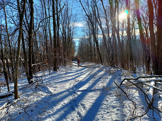
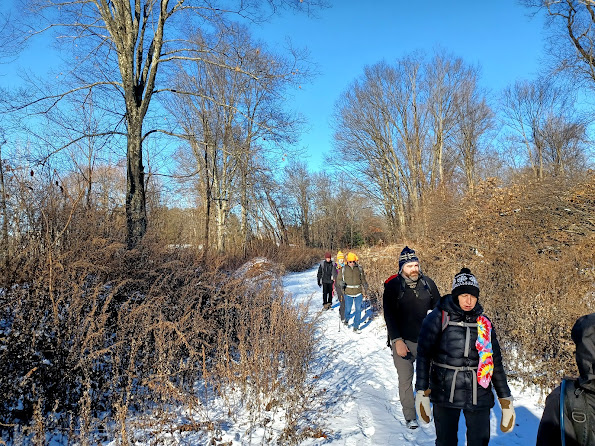
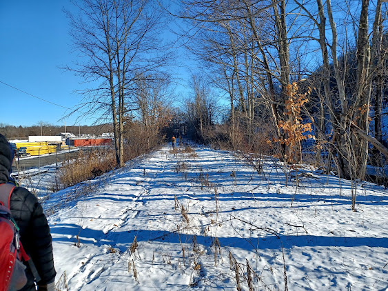
The snow cover was not too bad, so we were able to walk pretty easily along the right of way, more on top of the snow than in it, which was perfect.
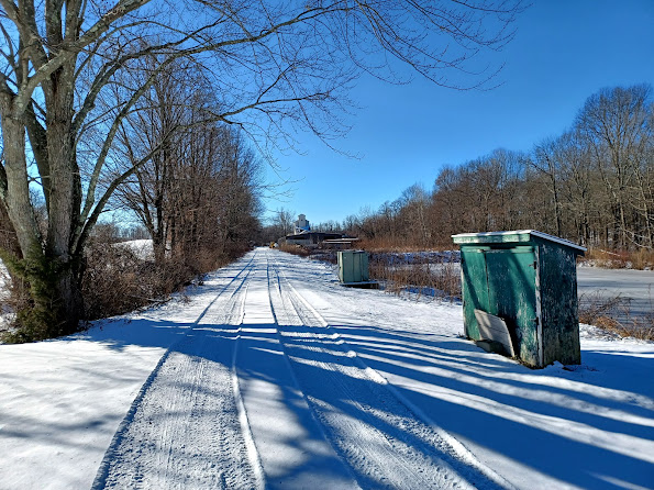
The rail bed had some infrastructure like some sort of old switch box, as well as an old whistle marker in this section heading out to the former grade crossing of South Street.
We continued to that crossing, and my plan at that point had been that we would follow parallel roads for several miles to Station Road, then head out across the right of way again.
When we got to the crossing, and because of all of the snow, I figured we could get through. The right of way ahead goes across the edge of a golf course, and I figured no one would be out there in the snow, so this was actually the perfect opportunity to give it a try.My entire planned trajectory changed right there. That little bit before South Street and the condition of the grade left me feeling like we could probably pull this off. We also had a good group that I was familiar with, who I thought could handle it. The only newcomer of question was Randy. I chatted with him a bit in that first segment, and he was interested in railroads, so that was enough to convince me that we needed to give this a try.
The right of way was clearly not used as a trail in any way in this section. No one had walked it in a while, but it wasn't really bad abrasive weeds either.
We took it to the south, and crossed over a private driveway where it got a bit wet. We had to step to the right to go over a bit of water, and I accidentally stepped in it, but then we were all good. We crossed the driveway, and it was a bit more open on the other side skirting a wetland.
There wasn't a lot of undergrowth, but the right of way was growing over with a lot of young birch trees.
Eventually, we emerged at the north side of the Apple Greens Golf Course. The right of way has been obliterated through the landscaping here, but we were able to continue walking along the right side of it. We crossed a small finger of the green where the right of way passes through an island of trees in the middle of it, and then it became a service road to the south.
This was the former site of Clintondale Station. It would have been right across the crossing in a vacant spot next to a signal that was still standing as I understand.
I didn't wait around when I got to the road, and turned right. The railroad bed was completely built over ahead by orchards, and I didn't want to chance having any problems, so we would definitely follow the road around the next section.
The others hung back behind me and met the farmer who owns the old feed mill.
We followed Station Road for a ways, slightly uphill and then back down, and then turned to the left when we got to Ohioville Road near a little pond. This was a bit busier road, but it went by fast.
We continued on down the road, passed orchards on the right, crossed the intersection with Hurd Road, and then crossed over the NY Thru Way/I-87 on the road bridge. It lookes as though the previous road alignment crossed where the highway is now on a straighter trajectory that is now Millers Lane.
This little development had all sorts of oddball road names that had something to do with Hawaii such as Aloha, Waikiki, Oahu, Kona, Honolulu, Luau, and even Muumuu.
They even had one known as Ho Lane, which I'd not have thought they would use.
Around where Waikiki Drive came on on the left, we turned right and were able to get down into a slight cut onto the railroad bed again. It was clear enough to walk here.
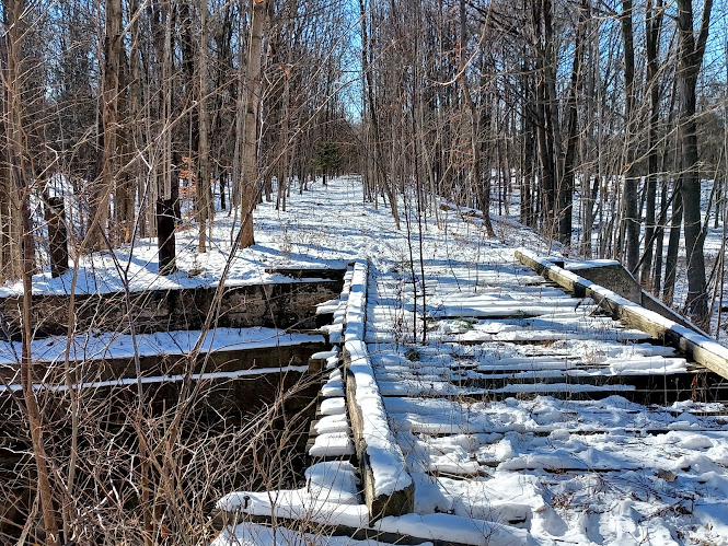
We continued south, and then crossed an extant bridge over Allhusen Road, which was of open tie construction and plate girder.
There were some lovely old stone houses visible just to the west of the bridge overpass.
We continued through very nice woods for a good while from this point, but eventually it started to open up a bit as we approached the town of Modena.
There was a house right in the right of way, and it was barely recognizable as the rail bed because the swath had been landscaped to a great deal.
Still, we pushed on, and we came upon a large abandoned building out there. It had a large bay door on it, and was all collapsed on the top. It had clearly not been used in many years.
We continued through the woods, and went around a small rock outcropping. I went first and made my way over an old stone row I think I recall, and then through more weeds. I think the others found their way onto a better woods road before me, and then I bushwhacked over to where they were through all sorts of thorns.
We skirted a mowed nice property, and then headed further into the woods as not to invade their privacy, and the route took us out directly onto Route 32 across from the Modena Rural Cemetery.
We passed an old brick building with a giant tree in front, which I thought looked like white ash, but others disagree and say Yellow Poplar, and they may be right.
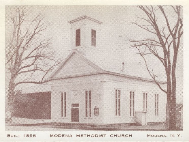
We continued ahead and then passed by the Modena Methodist Church.
I set up a then and now of the Methodist Church, using an historic photo from the collection of Vivian Yess Wadlin/Hudson River Valley Institute. The church was built in 1855.
We were able to walk from here into yet another lot, for some sort of industry, and walk behind that as well. It looked like this second one was a former rail served business as well, with a handsome sort of barn structure. The right of way was clear beyond this heading to the south, thankfully.
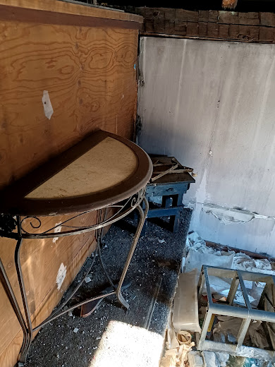
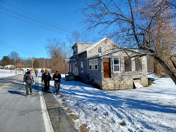
To the right, there wss an abandoned house before we got too far. It looked like it had been pretty badly fire damaged.
We decided to go over and check it out. It was structurally sound enough that we could get in and have a look.
The place was still full of the stuff from probably whenever the fire happened. Part of the roof was collapsed into the second floor, which meant that it won't last all that much longer, but it was pretty cool to see.
It had been sitting for a long time judging by the water damage. It definitely sent my mind back to my own house fire where I lost almost everything. It's really weird having been through it and then seeing a fire damaged house.
I left before the others, and started following the right of way to the south. The section ahead was one of the only sections of the day that would actually be on public park land.I got a bit further down from everyone where there was a torn up area and big piles in the right of way.
When the others caught up, Kirk had found a case or six pack or something of beer, which was kind of funny. I guess it wasn't bad, although I was not in the least bit interested in it.
I'm pretty sure it was some kind of shit beer like Coors Light or something like that. Not at all the strength I require.
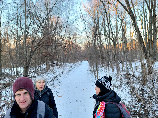
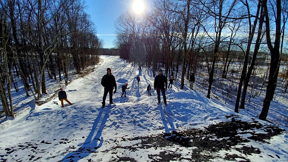
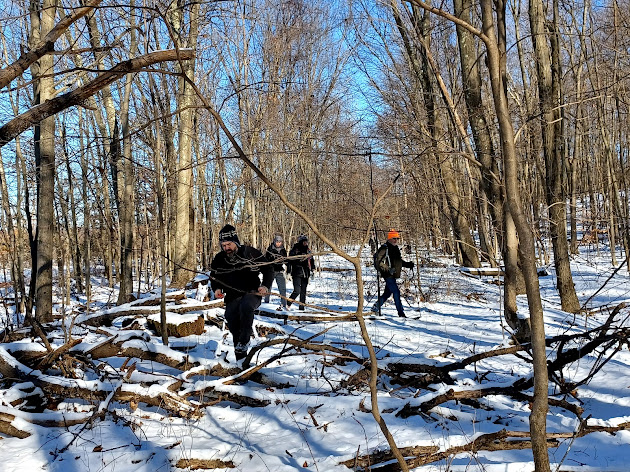
We got our group shot on these big dirt piles, which made us look like we were some sort of a band out on a photo shoot. Just ahead, the railroad bed goes into Thomas Felton Community Park for a bit. It then crosses over Route 32.
ATVs had kept much of this area open, but it was slowly growing in, and in the Summer we likely would not have been able to get through.
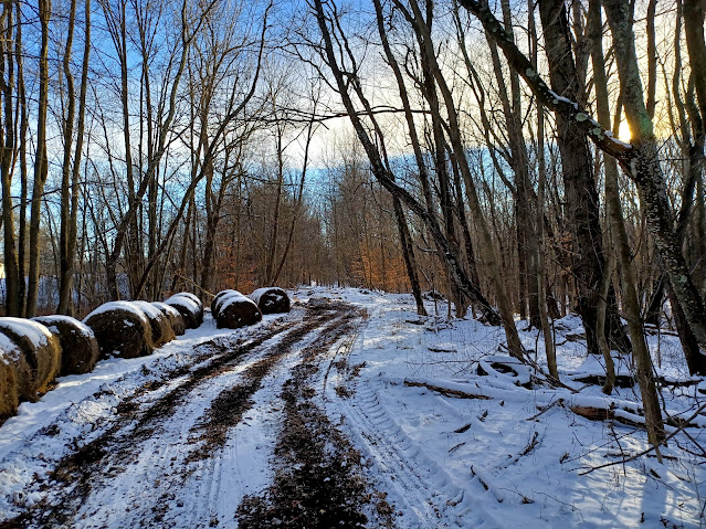
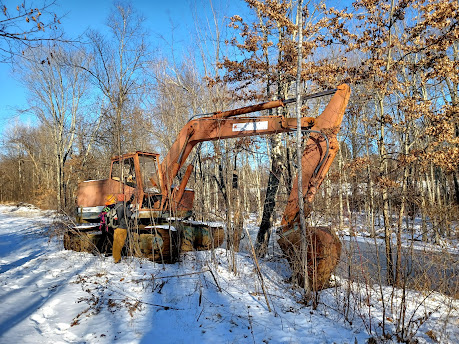
A little ways on, there were tons of sticks and branches bulldozed onto the right of way, and an earth mover parked on the side of it. The machine was not used to push this material, because judging by the amount of brush growing through it, it has not been run probably in years.
We continued on, along wider and clearer right of way in the Modena Gardens vicinity, crossed over a farm acess road, and continued south until we got to a point that was kind of close to a private home. A house had been built near the rail bed, and blocked it off for their back yard.
I had already known that this was coing because I had studied the aerial images to a great extent. I knew that across the field to the west, there was a sort of ATV path that meandered through.
We headed out to the corner of the field and skirted the wood line, then headed just slightly north to where I could see the ATV path on the aerial images. When we got there, I pushed into the tree line.
Sure enough, the path was there, and it was leading in the direction we needed to be. It meanered a bit, but it soon led us out to Orchard Drive where we turned left to continue to the south.
We passed the intersection with Anderson Road, and ten Orchard turned ninety degrees to the left. It wasn't far down this road until we got to the former railroad crossing again after the private home.
There was a gate at the private yard, but to the south of Orchard, the right of way was clear and easy to walk. ATVs were keeping it clear, and they had been on it very recently, making this a perfect section to walk. There was an old whistle marker for the crossing not far after heading south on it.
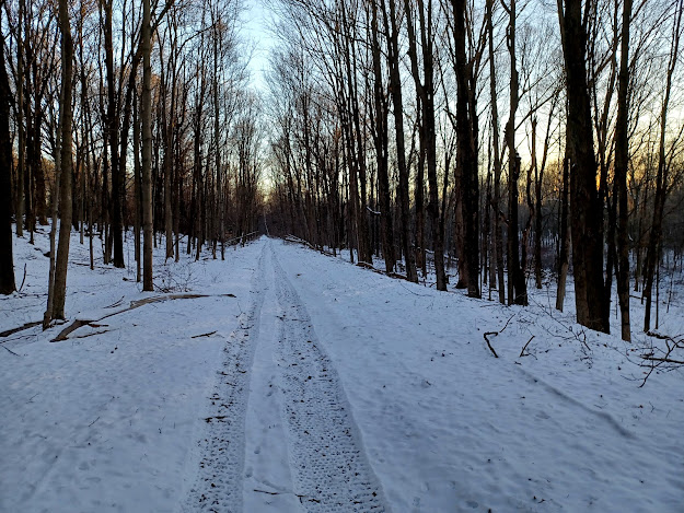
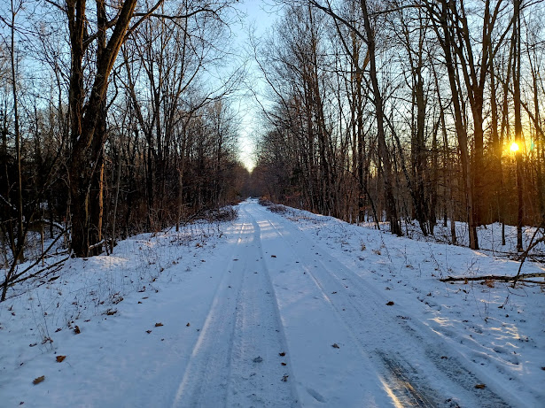
The sun was sinking in the sky pretty fast, but we were walking pretty much right toward it, so this was particularly beautiful.
We passed through some nice woods and then skirted some fields before crossing over Sylva-New Hurley Road. As I understand, this was a settlement known as Flint.
There were abandoned building ruins on the right side, and there might have been a station once.
This seemed clearly to have been a rail served business, but I have no clue what it was. There was a close by home, but no one came out and it wasn't really obvious.
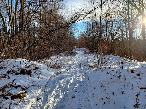
The rail bed continued very clear beyond this point, so we just continued on the way we had been. It was still used by ATVs throughout this section coming up.
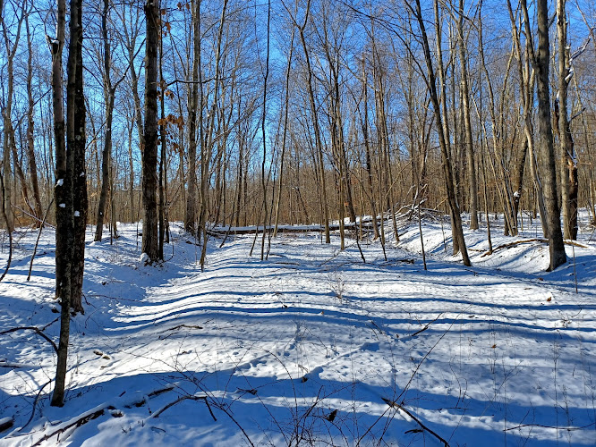
The next bit was a beautiful, clear section of woods again.
Eventually these woods got sparse, but the ATV path was still very easy.
This was all because soon the right of way goes onto the property of the Walden Motorcross Tracks.
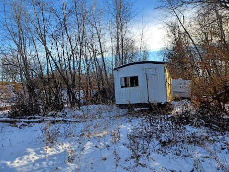
When we got to this area, there was a beat up old couple of trailers sitting in the middle of the right of way with all the windows smashed out.
Justin had a look inside, and he found these weird Takis Fuego chips. I don't recall them being all that great, but he grabbed some and we all tried them. I wondered if kids living locally were using this as their club house or something, because it was clearly abandoned.
In addition to the Takis Fuego, he also found some generic Mountain Dew stuff, and this one was called Mountain Explosion. We laughed and talked about the generic brands of all of this stuff they make.
I think in different parts of the country one can find different generic variations of these, and we had not yet seen Mountain Explosion.
I had seen Mountain Thunder, Mountain Holler, Mountain Lightning, and I can't even remember what else.
This particular generic one was surprisingly tasty because it wasn't just a rip off of Mountain Dew. I think this one tasted more like it was a cross between Mountain Dew and Sprite, which was kind of nice. It was probably also expired, or at the very least effected from lots of freezing, thawing, and/or heat. Whatever happened to it, we did like it.
We continued around the trailer area, and had to go slightly left into what looked like an old sand quarry area. After the trailers, the ATV path returned to the railroad right of way for a time up ahead.
I knew this was going to happen, because it clearly goes through a whole mess of people's back yards.
The road walk was actually pretty nice as far as those go.
There were beteen fifteen and twenty homes along Orchard in this next section, and after we passed by all of them, there was an access road of sorts that went off to the right and crossed over the railroad be again. We chose to take this down, and it was clear as could be heading to the south again.
We took the rail bed south across Route 300 clearly, and the ATV path continued right along it on the other side, so it was perfect. I was ecstatic that we were almost done, and hiked so much of it.
This right of way really had no business being as awesome as it was to follow in an area that had been so developed over, but it really was.
We had one last section of really nice woods from 300 down to Strawridge Road, where we would turn off to head back to Wallkill to the west.
We had in this section just crossed from Ulster County to Orange County. The two counties have an odd border that goes from east west to north south through this little bit.
The point was just barely to the north of the settlement of St. Elmo, where there is a railroad station still standing as a private residence.
We would have to see that next time, because we were heading up Strawridge Road west.
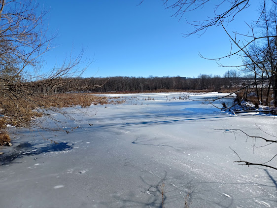
Just a little up hill from the rail crossing site, there was a wetland down below to the right, and then the crossing of the Catskill Aqueduct.
While we were walking along this wetland, off to the right, there was something on the edge in the weeds. Upon closer inspection, it was a Samurai Wakizashi!
The Wakizashi is one of the two swords seen carried by a Samurai. The longer one is the Katana, and the shorter one the Wakizashi.
Why one ws discarded into the weeds near the Catskill Aqueduct is really anybody's guess.
I found that Iron Sword Construction Company is nearby, but I guess they don't make these things, so I have no clue.
We joked around about finding oddball things through the course of the day; dead bird, beer, chips, soda, and now ancient Japanese weapons.
We soon crossed over the Catskill Aqueduct, which is another tempting thing to walk, but no longer allowed.
The 92 mile aqueduct employs a combination of cuts, fills, and bits of ups and downs with siphons,completed in 1924 to carry fresh drinking water from the Catskills to New York City.
It is no longer open to public, and my understanding is that it has been closed since 9/11/1. It is one of those knee jerk closures that really no one understands.
When the New York Walk Book was first published in 1923, and for many years and many later additions, the Catskill Aqueduct was recommended among the great Hudson Valley hikes. At some point the entire route was closed to all pedestrian use, and we lost an incredible resource.
People still walk it illegally, but face fines if caught.
It would definitely provide more eyes on the resource if anything underhanded were to happen. As it stands now, there are no cameras that we could see, and basically anyone could go out there and walk along it, with very little chance of being caught. If anyone were seen, they could probably just run and no one would ever catch them. Hopefully one day the aqueduct will be reopened for people to walk again, and when it does, we will do it.
We headed up hill a bit more, and pretty soon the Magnanini Winery, Restaurant, and Distillery was on the left side. We went in and were seated at table 69, and there definitely were not 69 tables.
It ended up being a really great spot for our dinner. I got a chicken dish with potatoes which was probably too expensive for what it was, because I ordered something boneless and it ended up basically being most of a fully boned chicken, but overall it was really tasty.
In addition to my dinner, I procured a bottle of their Mertillo, which is one of the sweeter ones. I quite enjoyed it a lot and shared with the others.
Outside, the sun was setting over the vineyard, which was quite beautiful.
When we were all finished at the winery, we got back on Strawridge Road and started walking it in the dark to the west.
It took us through fields and across a little stream, then back up a little bit and out to Bona Ventura Avenue. We continued straight on that, and then left on Rt 208 to get back to our cars at Popp Memorial Park.
This hike went so well that I had very high hopes for the next one to the south, to Maybrook. I didn't think this would be great, nor did I have much excitement for that one either, but now everything was different.
I started to become a bit more obsessed with the completeion of the Maybrook Line, because at this point I only had to go south to Maybrook from St Elmo, south from Homes to Brewster, and from Brewster to Danbury Connecticut.
The year was off to a great start.




































No comments:
Post a Comment