
Hike #1192; Westbury/Heaton to Schofield Ford/Tyler State Park
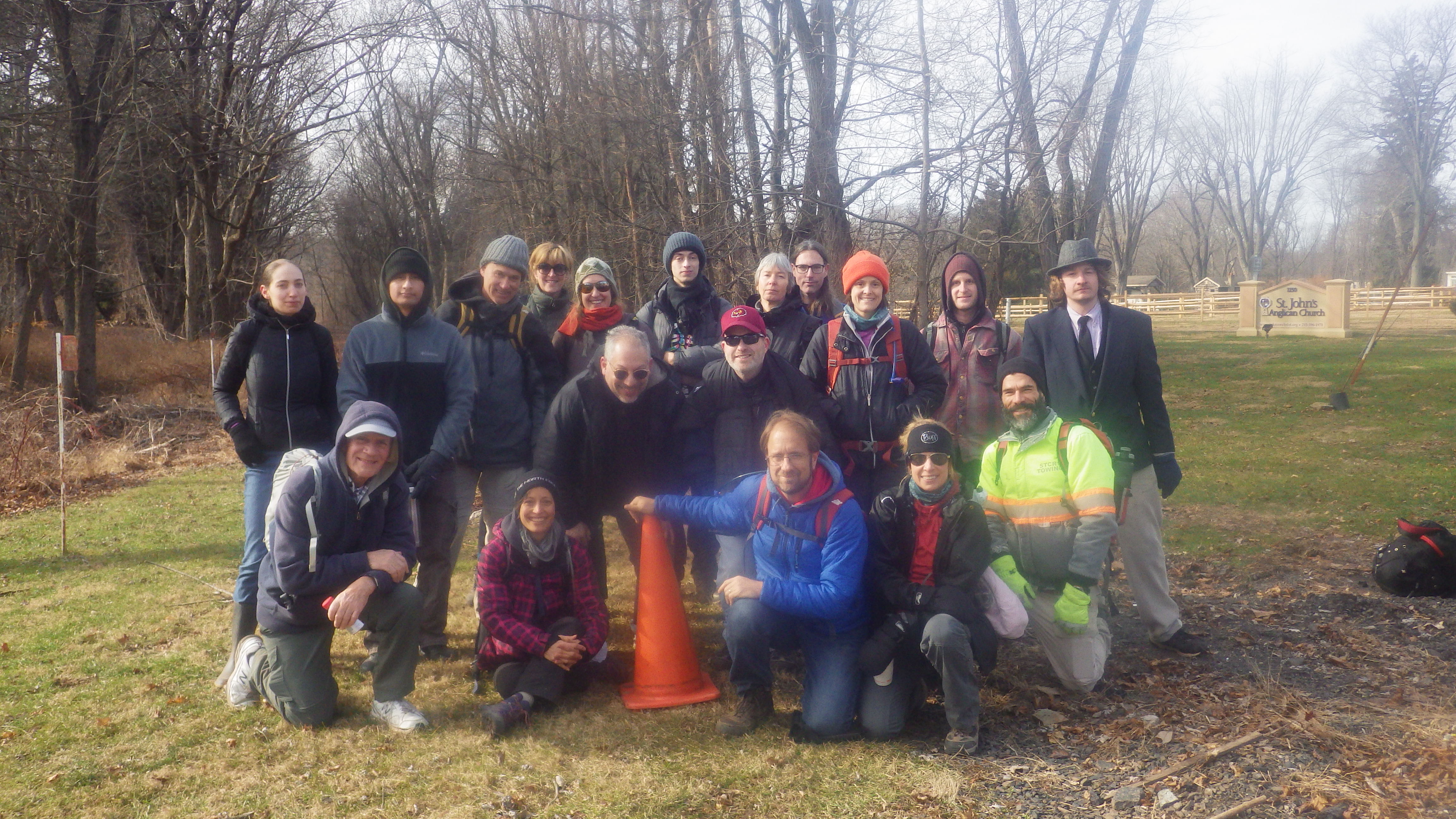
1/12/19 Heaton to Schofield Ford (Tyler State Park) with Shane Blische, Jim "Uncle Soup" Campbell, Laura Nycum, Jeremy ?, Ellie Zabeth, Mike Heaney, Sy P. Deunom (Martyn), Janet Lynn McCourt-Finsen, Lyz Abeth, Michael Krejsa, David Goldberg, ?, Rob Gearhardt, Justin Gurbisz, Carolyn Gockel Gordon, and Marissa Panton
This next hike would be another point to point, this time incorporating both the Newtown Branch series as well as the Neshaminy series, and then a bit of the Pennypack.
I had first discovered the old Newtown Branch abandonment on a hike in Newtown back in 2009. After a bit of time, I started arranging some hikes along that as well as other lines and trails. I returned to hike the line some more in September of 2011. We followed the line that time from Newtown on to Churchville Lake and turned away from it.
I abandoned the series because there was just too much other stuff going on until the Fall of 2016 when Shane, James, Dan, and I walked the entire thing from Fox Chase, where it is still active south into Philly, up to just south of Churchville. It was getting dark that time, and so we didn’t try to bully through any more of the overgrown tracks. With that, I was missing the section from just before Churchville Station to Churchville Lake.
That wasn’t high on my priority list for a while, until one day Shane told me they had ripped the line up in the section we walked between Woodmont Station and Southampton. This was kind of a shock because Bucks County people were pretty much against the removal of the rails. Montgomery County imposed upon them by removing their entire section, which made connection pretty much impossible. With the removal, it would be something to see. If they’re turning it into a trail, I wanted to have another look before it gets altered. I also realized there was a little bit we had to circumnavigate due to weeds, and we would now be able to walk through it because it was cleared.
I told Shane we needed to get this onto the Metrotrails schedule FAST.
In addition to these sections, I found a pig tail of the Pennypack greenway to the west that we could tack on, as well as some other stuff in Tyler State Park and the vicinity that I’d been wanting to do associated with the Neshaminy Creek series. So, this hike would incorporate the next in three different series of hikes I’d been working on.
We met in the morning at the parking lot off of Swamp Road for Schofield Ford Covered Bridge, probably the northernmost parking area in Tyler State Park. It was a good sized lot and pretty easy to get to. From there, we shuttled to the southern end of the hike.
Even at the start, I hadn’t quite decided for certain what the southern end of the hike would be. I had looked at several parking areas with the idea that we’d just use something in the vicinity.
There was a road called Turnpike Drive to a lot of little buildings that looked like corporate offices, but one had a gymnastics place, just below the Pennsylvania Turnpike south of Hatboro, between colloquial place names of Heaton and Westbury.
When we parked, I wasn’t going to go and move somewhere else, but I also was not prepared for the fact that we were parked on the opposite side of the former Pennsylvania Railroad Trenton Cutoff. The line, while not used for passenger service, is still a heavily used freight line.
SHANE’S DISSERTATION:
The Trenton Cutoff was built as a double track line by the Pennsylvania Railroad in 1892 as part of a major freight bypass between Morrisville and Harrisburg, linked with the Philadelphia & Thorndale and Atglen & Susquehanna Branches. A fourth branch intended to be part of this bypass was proposed in the 1910s between Morrisville and New Brunswick. Bridge piers were indeed built on both sides of the Delaware River south of Trenton for this bypass. The Raritan River Railroad was also intended to connect with this bypass. Woes brought on by WW1 ended this expansion. The line was electrified in the 1930s, hosting PRR P5 boxcabs, E33s, E44s and the famous GG1s. The Trenton Cutoff was a major shipper of materials and products to and from US Steel's Fairless Hills plant. The line's electric catenary wires were de-energized in 1980 when Conrail ceased using electric locomotives. The line was single tracked in 1992. The Trenton Cutoff is now owned and operated by Norfolk Southern which runs around eight trains a day on the line between Morrisville and Conshohocken.
We all headed to the south and cut over the tracks just to beyond where it crossed over the still very active SEPTA operated branch to New Hope. That line is active passenger rail a few stations to the north, and beyond is the excursion line, New Hope and Ivyland.
SHANE’S DISSERTATION
The New Hope Branch was originally a small branch line from Abington to Hartsville, P.A. built by the North Pennsylvania Railroad during the mid 1870s. An extension to New Hope, P.A. was finally built in 1891 by which point the Philadelphia & Reading Rwy. was controlling the NPRR. The line became their New Hope Branch. There was a proposal to extend the line to Stockton, N.J. where a connection with PRR's Bel-Del line would have existed but this proposal didn't last long as it was shot down by PRR being bothered with the fact that New Hope-Philadelphia trains can beat Lambertville-Philadelphia trains by 25 minutes. Regular commuter passenger service on the New Hope Branch was terminated in 1952. Freight service ran as far as New Hope under the Reading unil 1966 when the New Hope & Ivyland Railroad, a tourist operation, took over the line between Ivyland and New Hope. Service was reinstated to Warminster by SEPTA in 1974 with new catenary wire and a station. SEPTA trains continue to serve the line as far as Warminster. The NHIR run excursion trains between New Hope and Lahaska today.
We climbed down the steep slope, and Shane gave us his dissertations about the railroads.
We then crossed the lot for the Eastern Center of Arts and Technology. We walked through that lot, and a passenger train went by on the SEPTA line. We continued out to Terwood Road and passed beneath that line, then made our way along it past a few more businesses. We then passed through a grassy area parallel with a tributary to the Pennypack Creek. The field was a bit wet, but we continued through out to the intersection with Terwood and Davisville Road. We turned left, then almost immediately right onto Pennypack Road, which passed through a little neighborhood. Along the way, there was stone ruins of what was probably a very old house adjacent to some barns.

We continued to where the road was closed to traffic. It is a trail beyond this point into the Pennypack Wilderness.
I had first hiked the Pennypack Creek years ago in a section to the south, to near it’s confluence with the Delaware River, but hadn’t returned to it except the last time we hiked the old Newtown Branch. This abandoned road section took us along a very beautiful section of it, which included some nice calm water, attractive trees, and a couple of former dam remnants.
The trail eventually came out to Mason’s Mill Road and continued as more of a foot path on the other side, still following Pennypack Creek down stream.
The trail continued along and passed by some sort of former farm site, with stanchion things made of stone that either were part of the barn framework, or a building or some sort of fence. I’m really not sure what.
Just beyond, the trail came out to another closed off old road, known as Creek Road. We turned left here, and made our way across an attractive old stone arch bridge spanning the creek, built in 1849. We continued from this point past what I think was another dam site, as well as a nice rock outcrop, and then ascended to the former crossing of the Newtown Branch of the Reading Railroad, now part of the Pennypack Trail, just south of the site of Woodmont Station. We paused here for Shane to give an historic dissertation.
The line was first built through to Newtown in 1878 as the Philadelphia, Newtown, and New York, Railroad. The line was built to sort of block the “National Railway” which later became the main Reading Railroad line to New York city. This was not the only line to be built in such a way. We had done a series to trace the route of the Somerset and Mercer Railroad, which broke off of the Bel Del Railroad below Washington’s Crossing, and connected to other lines in Millstone. Some of that was rather haphazard construction, done fast to block the other line. This similar line was funded by the Pennsylvania Railroad, and it was planned that it would continue north of Newtown and connect with the Somerset and Mercer in NJ, but this never came to fruition.
The National Railway’s Delaware and Bound Brook project was built anyway, and the line was taken over by the North Pennsylvania Railroad, which was also built by the National Railway, and so it really became part of the Reading system. It makes for an interesting history, built by the Pennsy, and then became part of the Reading. In 1876 the Great Frog War of Hopewell took place and D&BB came out as victors destroying Newtown & New York Railroad's chance of ever reaching to New York City. Service continued through to Newtown, even after Reading Railroad merged into Conrail in 1976 and railroad traffic was reaching a national low. The line had been electrified as far as the Fox Chase Station by 1966, and diesel shuttles continued through the early eighties.
SEPTA took over passenger services on the line, and shuttles continued through to Newtown until 1983. Even before that, SEPTA was trying to do away with all non-electrified lines anyway, part of the reason it’s earned the joke moniker “Slowly Eliminating Public Transportation Altogether”. Although passenger service ended in ‘83, new ties and rails and such were put in place in Newtown through a federal grant, and it looked as though passenger service might be on it’s way back. Sadly, bickering between the railroad and unions caused unrest and the line remained closed. They finally gave into pressure and turned it into a rail trail.
This is one of those rail lines that I must say should maybe never have been turned into a trail. Right out of Philadelphia, with a good safe route to Newtown and enough citizens, it just seems to make sense to have a rail line. At the same time, the rail trail is actually very well used, so a trail between the two was a good idea. What would have been better would probably have been an alternate rail with trail plan, utilizing old woods roads and other alternate routes, not always 100% flat, but still following the Pennypack Creek closely parallel with the line. There is still i nterest in re-establishing rail service, but many neighbors to the line don’t want to see it.
It’s proposed that the Pennypack Trail be extended on the line further north on the line, to the Bucks County line, then it would be the Newtown Branch Trail the remainder of the distance to Newtown.
Since the last time we’d walked this, much of the line had been removed, so this was going to be quite a lot different.
We continued to the north on the rail bed, now a well manicured trail, to the north to the site of Woodmont Station.
At the lot, they had installed a crazy pole with just about every tool a cyclist would ever need as a little work station. I’d never seen any quite like this before.
We crossed Byberry Road and regrouped before moving on. On our last trip, from here the tracks were all still in place, but much of them had been recently cleared. We feared that they would soon be removed from what we saw. Bucks County had been against the trail for a long while, but apparently they had been worn down since Montgomery County developed just about their entire section as a trail. No new trail work was done, but the rails were gone for a long while. The right of way was growing over quite badly, and walking it was getting to be a pain right from the start. Still, we pushed onward.
We passed beneath the Trenton Cutoff, and then beneath the Pennsylvania Turnpike 276.
The weeds were rough all the way out until we reached County Line Road. There, everything looked very recently cleared. The rails were gone, and much of it was plowed flat.
We had a break at County Line Road, which also used to be a small station stop where a shanty was placed to shelter passengers waiting. I set up a few then and now photos of the site while Shane climbed up an old telegraph pole to retrieve old insulators.
After some milling around at this point, we continued along to the north.
I had never walked this section. On the hike in November 2016, we had to walk parallel with it because it was just that overgrown. We tried bullying through some of it, but it was just too hard. So, this time we were able to actually walk on it.
In the section, we found the location of a spur track that went to one of the businesses. We had seen that on the previous hike near it’s terminus.
We passed a guy walking through and chatted with him for a bit. He was happy that the line was finally cleared. He was walking his girlfriend’s dog through it. We gave him some of the history about the line, and he pointed out that removal was going on just to the north of us at that very time. In the distance, we could in fact see machines at work removing metal.
Soon, we approached Southampton Station. The station is still standing, but the rails that had all been there on the previous hike were now gone.
We took another break here for Shane to give a bit more history about the site. The workers were just north of the station with machines removing some of the metal laying around. One of the two guys nearby talked to us, and he said that they were not going too much further ahead.
It turned out they had removed much further than I was expecting. We walked beneath Street Road and headed through a bit of a cut. This section was one of the hardest to get through on the previous hike, but this time it was all cleared off.
Ahead, the rail bed went up onto a large fill. Mill Creek passed beneath, and there was a rather substantial washout, even before track removal. The large railroad fill must act as a dam during times of higher water and form a lake behind it to wash out that badly.
We continued over the fill and soon came out to Bristol Road. There Dave and his buddy had to cut out early, while the rest of us continued on along the line.
On the previous hike, we left the railroad here. It was getting too dark and there was no time to continue and be able to see anything. Before that, I’d hiked as far as Churchville Lake, but not beyond. This time, we’d finally finish walking the sections I’d not done.
It was really badly overgrown through the first bit, and so fortunately Knowles Ave is right along side of it, and I could walk that during the toughest parts.
I climbed back down just before reaching the Churchville Station. This historic station is very similar to the Southampton Station. Unlike Southampton, which is run by a non profit, the Churchville Station is now a private residence.

Newtown Branch
Beyond the station, the railroad is closely paralleled by Elm Street, but this time we remained on the railroad. The tracks were all in every since Bristol Road, which in some ways probably made it easier to walk than it would have been if they were removed a while back.
We continued to where we were on a high fill above Churchville Lake, where we had first reached the lake years ago. We turned right from the grade down hill on an informal trail that followed the shore of the lake after the steep slope.
The trail started as a foot path, then became a grassy open path leading along closely to the shore, which provided us with some great views. It widened then to a maintenance road of sorts, and made it’s way out to Churchville Lane. We turned left briefly here, and then right along the end of a fence close to the reservoir. A path was not immediately visible, but soon it became more pronounced and easy to walk. The foot path led out to a clearing at the end of another maintenance road, which we continued on south along the west short of the lake. Another trail led off to the right to go somewhere, but I’m not sure where.
We continued south to the main dam, and then turned to the left to pass around it.
The dam had a fountain like thing below it that spouted up. I had been in this area once before the first time I’d hiked the Newtown Branch. We went south toward Holland at that point, but this time we would continue along the east side of the reservoir, which I had never done.
It was more like an official trail, on a wider woods road heading through a field, then direct to Churchville Lane. We turned right briefly here to Churchville Nature Center entrance.

The Churchville Nature Center’s formal trails were some that have escaped me for years. I’d been aware of them for a long while, but never got around to hiking them. This was a good opportunity to do so.
We headed toward the main nature center, which was quite an attractive building. Laura said it was just finished somewhat recently. There was an old stone building on the property that might have served as an old nature center or a caretaker’s building. It was certainly very old, and would have been an old farm house originally.
We hung out inside for a while, checked out the exhibits. We then exited through the back and got on the trails. We kept to the ones furthest to the west, which followed along the reservoir edge. There were some really attractive routes with board walk and outlook sections. A lot of people were out walking too. It was quite a contrast compared with seeing almost no one all day up until this point.
We continued to the north, and Laura pointed us to an informal but well used trail that headed up to the old Newtown Branch. Once there, we continued to follow it to the east further on a section I’d already done parallel with Elm.
It got pretty badly overgrown, so we abandoned this route in favor of going up on the street. There was a cop parked there, and some of the road was blocked off for some reason. We had seen another parked own the end near the Churchville Station, but not sure what was going on. One of the cops told us that they were soon opening it back up. We stayed parallel with the tracks for a bit, and passed an old signal tower, then reached Holland Road, about where the train station would have been. This one was another little shanty station rather than a large building.
We left the tracks here. They were looking really overgrown ahead, and I had considered walking that rather than turning north here, but we had added a bit extra at Churchville that I wasn’t originally planning on, so we turned.
We followed Holland Road to the north, and passed an old stone house on a corner that probably dates back to the 1700s.
The road walk wasn’t too bad because we were provided with a wide berth due to schools and churches with the large lawns. We first went across the lawn of St. Bede the Venerable church, then headed up to the Middle Holland School and Council Rock South High School. We wandered through the lawns, and saw where the Middle Holland Road had once been rerouted or straightened.
We continued north to Route 332 at an intersection. Across the way was Tyler State Park, with some private homes interspersed on the north side around it. We turned left on the narrow road, which was kind of a bad spot to walk, then cut across to the right through fields as soon as it seemed certain that we were at state park land. We then continued along a tree line to the west, to the next access road that went in toward the park.

Tyler SP
Once everyone had caught up, we headed to the north. Janet and Uncle Soup had already walked ahead a bit, and I found Uncle Soup climbing around on giant rolled hay bales. We continued on #1 Lane Trail near some equestrian center to the north, I think to College Park Trail. These were wide paved old roadways that were part of the Tyler Estate before he donated it for state park land.
We turned away from the main trails from time to time in favor of more natural surface ones. I took us along one that went up hill through fields, and then turned right along a utility clearing. There were a lot of these pathways I had never followed on hikes before, and so I wanted to cover some of them this time. We even saw a really cool hawk or something overhead along one of them. We headed north to Dairy Hill Trail, which passed near a farm area and someone’s residence within the park, then made a bend to the east.
We eventually made our way to the Covered Bridge Trail, which is a wider woods road. We headed past some views out toward the lands north of Newtown and college property, and then descended until we reached the Schofield Ford Covered Bridge.

The original covered bridge at the site was built in 1874. Unfortunately, it burned down in 1991 by arson. Funds were raised and the bridge was rebuilt in 1997. The first covered bridge in the America was constructed in Philadelphia. Pennslylvania had over 1,500 of them, more than any other US state. Today, there are still over 200 of these structures remaining in the state.
We crossed the bridge and headed rather quickly up hill to the parking lot to conclude the hike. We decided to have some dinner afterwards at Isaac Newton’s in Newtown, which ended up being quite excellent.
It was really nice to actually be “done” with a series (unless we try to walk parallel to the southern end of this Newtown Branch from Fox Chase, but that’s not far). We can milk a few more hikes out of Neshaminy and Pennypack, but we’d completed another route.
There are still plenty of other routes, whether they’re trails or historic corridors, which we’ll continue to work on for years, and more keep getting added.
HAM
No comments:
Post a Comment