

Hike #1654: 4/6/25 Riverside to Westampton/Timbuctoo with Kirk Rohn, Diane Reider, Jenny Tull, Robin Deitz, Galya, Svetlana, ?, and Everen

This next trip was one that I'd been considering doing for quite some time, but a recent random Google Maps search of the area revealed that a somewhat new multi use greenway trail had been placed along the Rancocas Creek that looked like I had to see right away.
I found that I could connect with only short bits of road walk all the way from the confluence of the Delaware along the Rancocas Creek to Rancocas State Park, one of the few state parks that I had little experience with.

The Rancocas Creek is a tributary that I am getting more and more familiar with, but it doesn't strike me as the same one despite all of the hiking I have done along it.

Tributaries to the Rancocas stretch well out into the Pine Barrens, and pass beneath the Pennsylvania Railroad's Atlantic Division, which we did as a series and finished in 2020.
The stream is throughout other portions of the pines, and we had been along it just in the recent months.
The only part of the main stream that I had really walked along was part of the NJ perimeter, when we had done the stuff along Amico Island in Riverside and a bit in Delanco.

I just skipped by the rest of the Rancocas as I continued exploring, and I have long known that this tributary deserved a lot more attention from me. It was going to get it.

I thought for sure that this hike would get us well into Rancocas State Park, but it did not end up working quite that way by the end.
I chose a spot that would be close to Rancocas State Park, in Westampton Township as our meeting point. It was a little strip mall with a Uni Mart and Old Village Pizza in it. That way, I could get us snacks at the start, and also possibly dinner at the end.
This worked out well, because I hadn't picked up everything, I wanted to get for Ev yet, and the store had peanut butter cups and chocolate milk, which is a tradition he's used to.

Once we had everything we needed, we shuttled in my van and I think Diane's car to the start.

I made the starting point Amico Island Park in Riverside. The one mistake I made was that I figured we would be finished well before dark, that the hike would be easy and quick enough, and there would be no problem. However, this didn't pan out, and it would be a problem because Amico Island gets gated after dark.
From the parking area, there is a narrow spit of land that goes into Amico Island. When I was here last, we followed the absolute outside of the island the entire way, because of course I was working on the NJ perimeter. This time, I wanted to do more of the interior stuff, while still visiting some of the scenic outlooks of the Delaware River and Dredge Harbor.

I understand that today's Amico Island Park was once a sand and gravel company property.

The area to the south, the Dredge Harbor, was once part of a Dredge Spoil as I understand.
One of the cultural oddities I discovered while doing my NJ perimeter series years ago, which I never considered and probably hardly anyone does, is that dredge spoils are a necessary evil along major rivers.
Of course, the Delaware River is tidal and navigable from its mouth almost up to Trenton, where it ceases being tidal. Through this entire stretch, even though it is deeper, there is a channel that is dredged for the passage of larger ships.

The stuff on the floor of the river is a slop slurry of sorts, and it can't just be discarded anywhere. Dredge spoils are a large sort of retention pond where the crap can be discarded to settle, and they are still being used today.

There are many older dredge spoils that have been abandoned, and completely grown over with trees. Others have eroded in flood and tide conditions and become little bays along the Delaware, like the one at Riverside.
In most cases, these dredge spoils are not open to public, but I found an odd little caviat. If you are bird watching, you are allowed to walk the dredge spoils. That is of course a part of what we are doing among other things on hikes, and so we were able to walk all of them on the NJ coast.

I was reading that the sand and gravel company was in use until the 60s at the site, but I think some claim that it had been open as late as the 1980s.

We made our way around the south side of the place first, and then to an outlook area with a nice view over the Dredge Harbor. There was a good view with a building that read "Dredge Harbor" on it.
We took in the views, and then headed directly across the island to the north, to beside the Delaware River, where there were a few boardwalks installed heading east.
We followed these, and an informal trail followed closer to the riverside on the left of us, which was what we had followed the last time I hiked this.

I stepped up to a couple of the outlook spots, and a pair of Mallards swam off into the river. There were frequent picnic tables and benches with views.

We headed back down to the main trail to the east side, which I think was blue blazed, and came to a giant root ball and fallen tree on the right. These are always interesting to see, and they're pretty common when out on flood plains of rivers like this.
Trees in floodplain areas grow quite large, but with the constantly changing terrain on these floodplains, and sand piling up around the base of the trees, the deep original root systems begin to die off. Reacting, the trees send off new Roots closer to the surface, spreading out and supporting the tree while older roots beneath continue to die and rot away.

While all this is happening, the tree trunk continues to grow in size. Eventually, the tree is very heavy, but the newer roots are so small that they cannot support the weight of the tree in windy conditions.

As a result, we see lots of fallen trees in these floodplains after they get to be a certain size. This was a big deal at a campground along the Delaware about fifteen years ago when such a tree fell and killed a man in his tent while he slept.
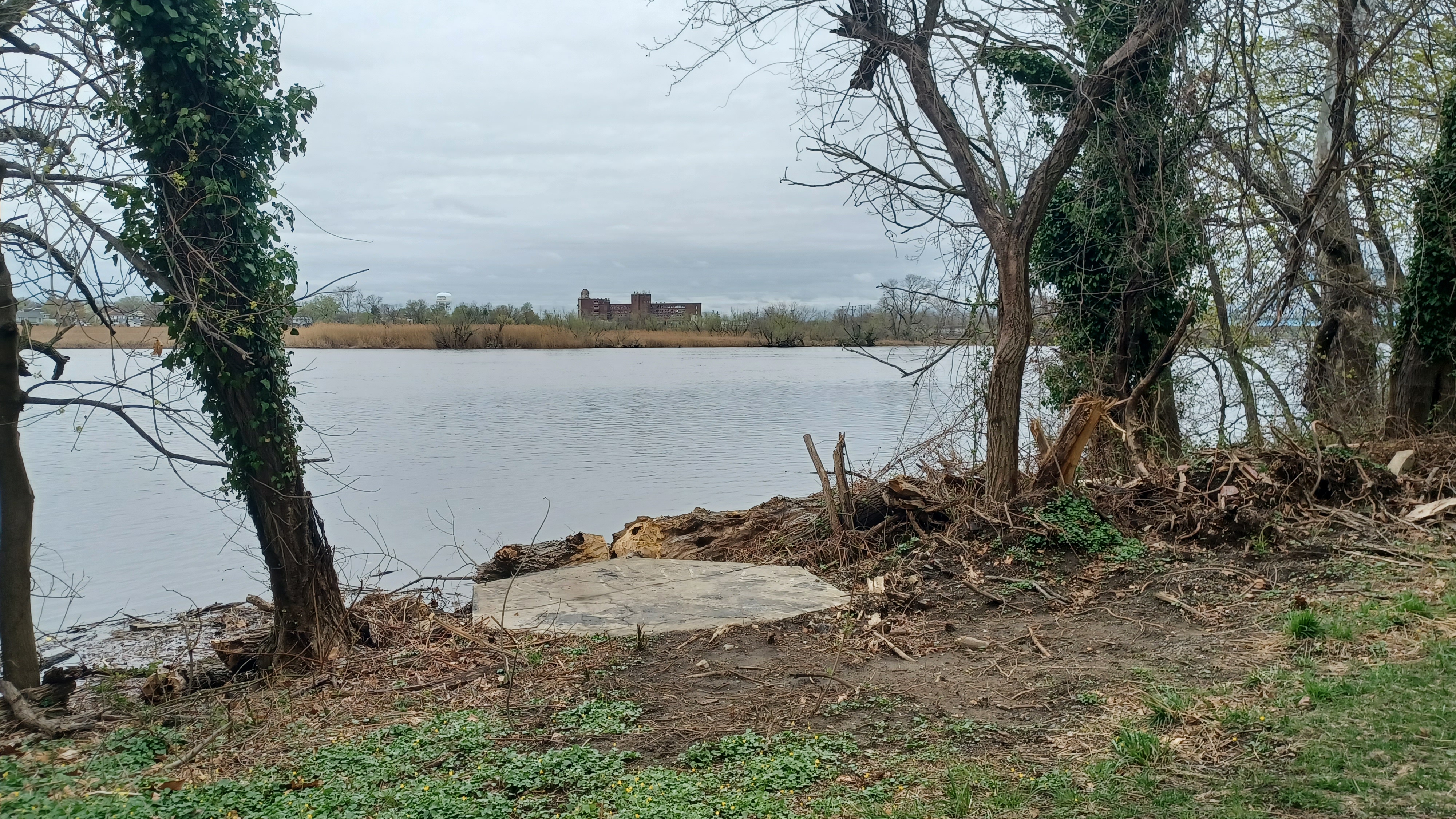
We turned to the north on the island and had a view west to Plum Point. We made our way along the north side, and then to the east, soon to the actual confluence of the Delaware River and the Rancocas Creek, with Hawk Island directly across from us.
Blue signs reading Delaware and Rancocas were on the trees in this area denoting which was which.

The term Rancocas comes from Rankokous, from the Powhatan Lenape people. I'm not sure how far back the name goes, but some of Rancocas State Park was the Powhatan Rankokous native reservation before it had become a state park.

I haven't seen anything that tells specifically what the word means, but I seem to recall someone saying something about a river forking. The Rancocas certainly has many forks.

We made our way back to the south, to the same lot we started in across the causeway separating the Dredge Harbor. It was quite pretty from the causeway, and the still water of it made it look like glass.
We passed by the cars, and the Rancocas Greenway started up immediately from there heading east, at first directly beside the roads.
There was a dedicated walkway that went to the east on the road, and then came right out along the Rancocas Creek with some great views to the north over it. Even though we were right beside the road, it was nice.

I had walked this before, but this greenway trail was not in place yet when we did the perimeter hikes.

The trail continued alongside the road until we reached Whomsley Field, where River Drive turned to the right. The trail then cut to the left, on the north side of the fields, and skirted the property. It turned to the right around ball fields and then near to a water treatment area.
We turned ninety degrees to the left again, and then crossed over a small stream known as Tar Kiln Road, on a decked trail bridge that appears to follow a former extension of Polk Street.
We came out to Polk Street, and the trail simply followed sidewalk on the edge of that for a time. As we continued through this bit, I could see that young Japanese Knotweed was coming through the pavement and sidewalk. I grabbed up a couple of stalks of it.

This stuff is actually edible, and when they're really young, quite tasty. I took a few bites of the lower end of the stalks, and they were really juicy. I encouraged the others in the group to give them a try. Some did, some didn't, but I thought it was pretty good. Even Ev tried a little bit of it.

I made a video of eating Knotweed to post on Metrotrails, which I figured would do better, but oh well.

I've lately been getting my posts demoted because so many foreign scam pages are stealing my material, and I've been calling them out for it. Unfortunately, this seems to be against some AI powered community standards, and the page went from making a whole lot of money through monetization to very little.
We continued east on Polk Street to the intersection with Pavilion Ave. There to the right, there was a very large building that commanded interest. It was the historic Philadelphia Watch Case Company building.

Samuel Bechtold began construction of the oldest part of the building in 1852, known as the Pavilion Hotel, which explains how the street got its name.

In 1892, the building was purchased by Theophilus Zurbrugg of the Philadelphia Watch Case Company. The larger portion of the building was constructed 1906-1908.
The company folded in the 1950s, and was vacant by 1977. Offices of an engineering firm and Riverside Historical Society were later located in the building.
More recently, a plan to reuse the building for apartment spaces has been approved, but there's not really much evidence of anything going on. The area behind it apparently had more industry, and is pretty much cleared, probably for more housing as well.

It would probably do well, since the River Line, previously Camden and Amboy and then Pennsylvania Railroad, is on the other side. Phil Murphy's "transit city" plan would encourage this. In this case, I would be for it as well.

We turned left on pavilion and headed north toward the bridge over the Rancocas Creek.

It was a pony truss structure with a swinging section built 1934-35.
The third bridge on this site; the original was built in 1870, and was replaced in 1901.
The bridge was officially designated the Landon-Stone Memorial Bridge in honor of Landon and Stone, Burlington County residents and high ranking officers in the Spanish American War and World War I.

The original was a bowstring truss, and the second apparently was a similar pony truss to what is there today.

We walked the walkway, which was on the downstream side, and could see the deteriorating woodwork that served as a sort of bumper system for the bridge for navigation. It doesn't look like really anyone is using the Rancocas for large navigation at this point.
We headed to the north into the community of Delanco, which was developed between the 1880s and 1920s on scenic water frontage. It was apparently named for pieces of the name "Delaware" and "Rancocas", but they used only the middle part of "Rancocas", because there was already a community named Delran!

There were some really nice buildings through the area.

This corner house on the northwest corner on the end of the bridge, on Burlington Ave, was under construction in 1906 according the Sanborn Fire Insurance maps.
We turned right on Rancocas Ave, as that was the greenway trail route, and Gateway Park was on the left side.
This park was once the site of the Allen House/Rancocas Hotel.

The three story Allen House was constructed for Phillip and Maria Allen in 1903. They operated it as a boarding house.

The property passed to Maria Allen's daughter Linda Long in 1916, and the name was changed to Rancocas Hotel. Long lived here until 1940. I'm finding out that the building was demolished probably in 1975.
We walked into the park, which had a beautiful little pavilion in it. A couple was out there doing some photos at first, so I waited a bit to approach.
There were good historic markers about the town and the house along the way, and I tried setting up some then and now images, which I found out later I had all wrong. I was able to tell how the building was oriented based on Sanborn Fire Insurance maps, and so I'll have to try to get those again some day.

After our break in the little park, we continued east on Rancocas Ave. This meant turning left on Buttonwood Street, right on Rancocas Ave again, and then right on Poplar Street, to again go left on Rancocas Ave.

From that end, we got to another pedestrian path, which led us to the River Line bridge over the Rancocas.

This was a handsome Bowstring arch truss span of the NJ Transit River Line.
The route was originally the Camden and Amboy Railroad, completed in 1834, with a wooden turntable bridge. The turn span was replaced by Pennsylvania Railroad about 1903 with a turning span that had originally spanned the Delaware and Raritan Canal. It was floated down the Delaware River by barge and up the Rancocas Creek to the site.

The current bridge was installed after an accident in 2001. I've read, and seen a few photos, that there were some mishaps involving this bridge, and that it might have tipped or something during its installation.

We hung out at the east side of the bridge for a bit, because trains come frequently enough, and I wanted Ev to be able to see a train coming across it.

When none were coming for quite a while, we started moving on along the trail to the east.
Just then, when we had given up, I heard the discernible whistle from far away. I turned back around and pushed Ev as safely as I could run with the stroller so we could catch the train coming over it from the south.
When the train passed, we continued on the trail ahead. This was a somewhat new section. The area used to have homes lining the edge of the Rancocas, in a neighborhood that was known as Newton's Landing. There are foundations seen on aerials just to the north of the trail.

We passed by a roundabout in the trail, where a side path led to the north up to a new development and continued along the creek to the east.

We passed by one old house site with an old light post and outhouse remain.
Old maps show farms in the area of Johnson and Newton families (including one Isaac Newton).
Of these old houses in this row, only one remains and is lived in, the last from the line.
One of the remaining Newton homes was just ahead, larger, and sitting back a bit from the creek. Samuel Newton first settled here in 1767. The area remained in agriculture with descendants until the 1990s. Names like Newton as well as Johnson both appear on the 1876 J. D. Scott Atlas of Burlington County.

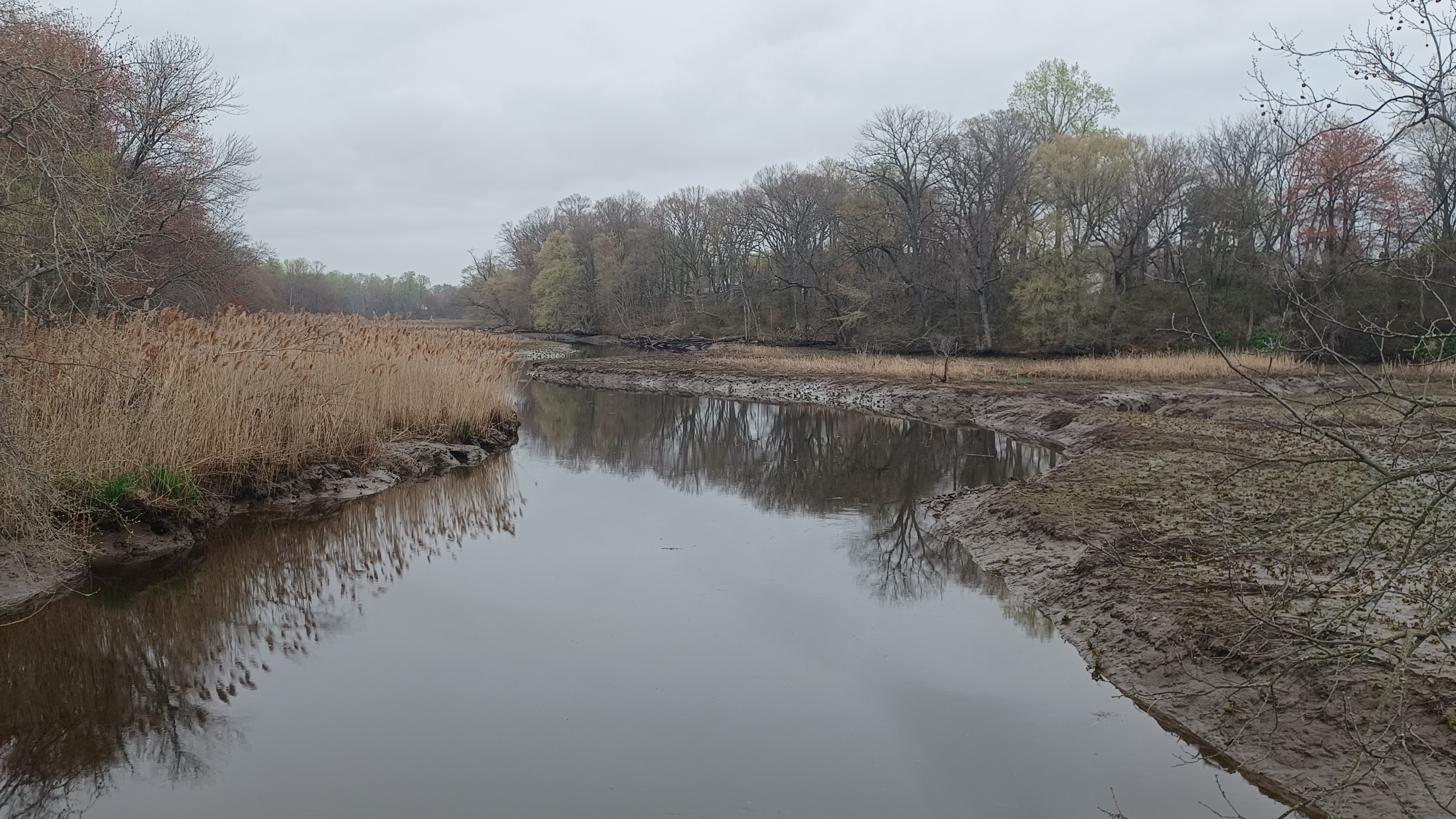
We had frequent good views out onto the Rancocas Creek, sometimes with daffodils growing. We could see in the distance the old watch company we'd passed earlier, as well as wide flood plains on the south side, and back to the NJ Transit bridge.

The remaining large building is apparently owned by the development now, and serves as the Newton's Landing clubhouse. I guess they gave the new development the historic name.

We continued ahead, and a side trail came in from the left, from the development. We made our way east, and then had to cut inland after a bit to get around and across a small stream that flows into the Rancocas.
We exited the woods into a large meadow, and soon crossed a private driveway as we entered Pennington Park, where trails break off at different angles. The main one was paved near the middle, but others were crushed stone around the outside. We took to the southernmost of the trails.

The 140 acre former Pennington Farm was preserved as a Burlington County Park in 2006.

The 1876 J D Scott Atlas of Burlington County shows this area as "Delta Grove".
The first crushed stone trail weaved down through fields to the right. It came back to the paved trail, we continued east, and then there was a boardwalk trail heading into a woodland to the right. A spur trail to the right of that led out to a viewing area at a tiny inlet.
We came back to the main trail, continued east a bit again, and then there was another choice of right or left. We turned right, and another side trail to the right led out to a dead end at a viewing area. We of course followed this as well, because I wanted to see all there was to see out there.

We returned to the paved trail again, headed east and then north, and soon came out to the parking area near the dog park where we took a little break. This was good timing because I really needed to go over the maps a bit to figure out how we were getting through to the next section.

Rt 130, the Burlington Pike, is just to the east of here, and we needed to get across it. There was no good crossing and crosswalk, and only one opportunity with a light, but it was enough that I thought we could probably make it work.

I figured I knew where we were going well enough, and we all backtracked just a bit to reach a small paved trail, which leads out behind the Living Springs Senior Residence. We turned left from there, and headed across parking areas and through grass just to the north of the Abundant Life Fellowship Church.
I should have given Ev a diaper change when we were back further. He was out of the stroller and running, but then he told me he needed one, when he didn't just before. I stopped and changed him really quickly in the grass, and then we moved on ahead.

There was a Wawa up closer to Rt 130, and so we headed directly there to get something to eat and drink. Ev is at the point that he knows he likes the Double Dutch Chocolate Milk they have there.

I forget what all we got, but we had some food before moving on ahead.
When we were all ready to go, we headed out of the Wawa and onto the Bridgeboro Road toward the traffic light at 130. There was no crosswalk, but traffic wasn't too terrible. I waited for the green light, and hurried with Ev across, and onto the edge of the jughandle on the other side. I hurried around that, and continued to the right, on the shoulder of Rt 130 heading south.
Large old quarry lakes came into view immediately to our left, and fortunately we didn't have to walk the highway too far. We came to a limo place and cut into the parking lot to the left.

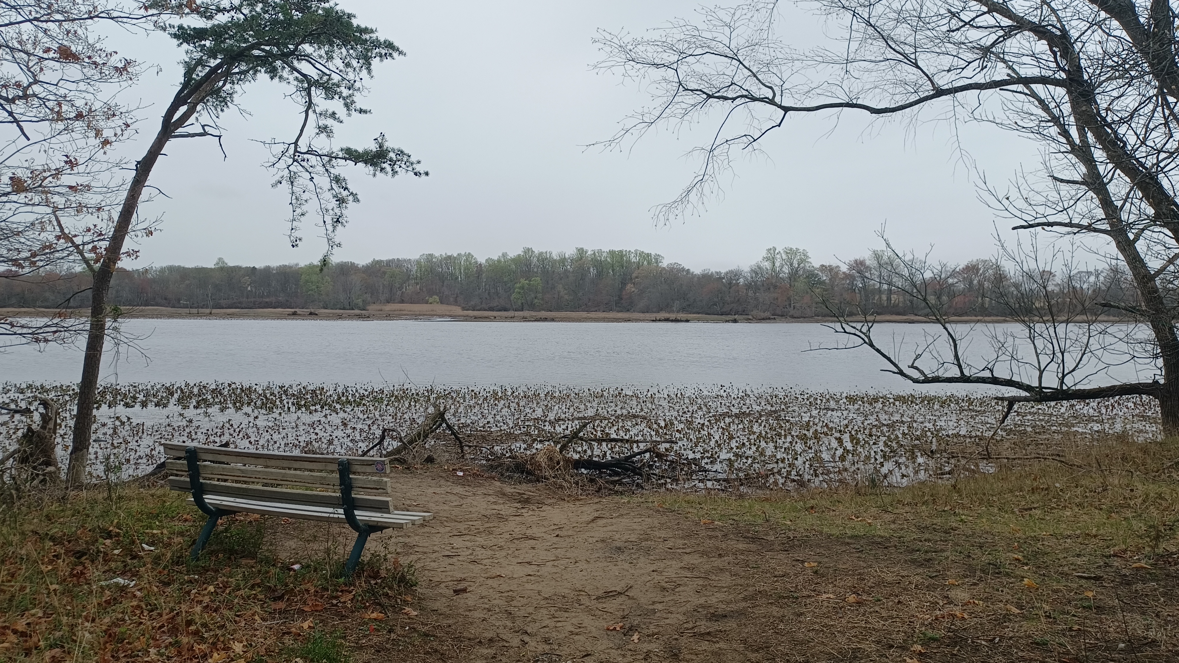
What we were seeing was the Olympia Lakes, of the 105 acre Willingboro Lakes Park of Burlington County Parks.

Olympia Lakes, which account for 45 acres of the property, were created in the late 1800s and early 1900s when sand was pumped out for use on projects including the Philadelphia subway system.
From the 1950s to the 1970s, the site was the popular Olympia Lakes Resort.
The 1990s housing boom nearly saw the property developed, but it was preserved in 1997. The county purchased it in full in 2012, and opened the park formally in 2020. This was probably a good time to do it, when no one would notice and they wouldn't get so overrun.

We headed onto Lake Drive to the east only briefly, and then there was a small trail in to the left, which took us down to the edge of the first lake.

I stood in the water, which was refreshing. This would be a good dip spot in the Summer for certain.
This trail was not one of the official ones, but it got us through for a bit, parallel with Lake Drive. We did have to head back out to the road briefly after our first spot on the lake, but there was soon another trail that went back to the lakes.
To the right, there was a large puncheon over a wet area that continued the trail. Ev got out of the stroller and was happy to run across these.

The water going over this looked absolutely disgusting! It had all sorts of swirls and I at first thought it was some kind of Harmful Algae Bloom. Actually, it was just pollen in the water.

Pollen in the water in the springtime can look pretty menacing, but it's just what happens when you have Oak, Pine, and Elm trees near water bodies.
While I wouldn't recommend chugging it, and some might have allergic reactions, it's generally not something to be too concerned about.
We continue off of the puncheon, and up to the footpath on the east side. There were other trails that went more to the right than what we were doing, but I figured we'd have to come another time to do more of this. I could probably do this entire hike again and have it be fifty percent different.

We continued on the slope above the lake on the east side, heading to the north, and the other trail came in from the right. This was a really quite lovely section to walk. It rained slightly while we were walking this, but nothing too bad.

We came out on a circular parking lot onto Beverly Road and skirted the right side of it at first. Ev had been out of the stroller for most of the trail along the slopes and was loving it, so I didn't want to force him to get back in until I absolutely had to.

After we left the lot and exited onto the highway, I was a bit more worried. Fortunately, for a while, he stayed with the others in the group and well off to the side. There was usually pretty good grass to walk through.

We passed over Ironside Court which was mostly just an entrance to a parking lot, and then continued along the edge of the parking lot heading south.

We did have to cross over when we got to the bridge that crosses over the Mill Creek, a major Rancocas tributary. The sidewalk was only on the north side.
We continued ahead, and the intersection with Pageant Lane was on the left. There was a crosswalk there, which led over to Mill Creek Park, which would have ou next section of trails.
As we walked down the entrance road, I could see something interesting off to the left.

A UFO??? No, this is a rare Futuro House, which we'd seen a bit of in the past on a perimeter hike.

Futuro Houses were designed in the late 1960s as an alternative home idea, and portable ski chalet, but they never were a success. Less than 100 of them were made, and only about 70 or so still exist around the globe.
Here's an Atlas Obscura article on the houses:
http://www.atlasobscura.com/.../futuro-houses-a-failed...
We didn't bother going because I knew we had a long way to go. We instead turned to the right and headed over to the far west side of the park, and then followed the paved trail to the south.

I think the other one we'd seen was along the Maurice River in south Jersey.

We continued south, parallel with the Mill Creek, in the wide open park area, and eventually entered the woods on the southwest side.
The surface of the trail was pleasant crushed stone again, and we soon reached the first outlook onto the Rancocas again. This was the nicest of the trails we had been on yet.
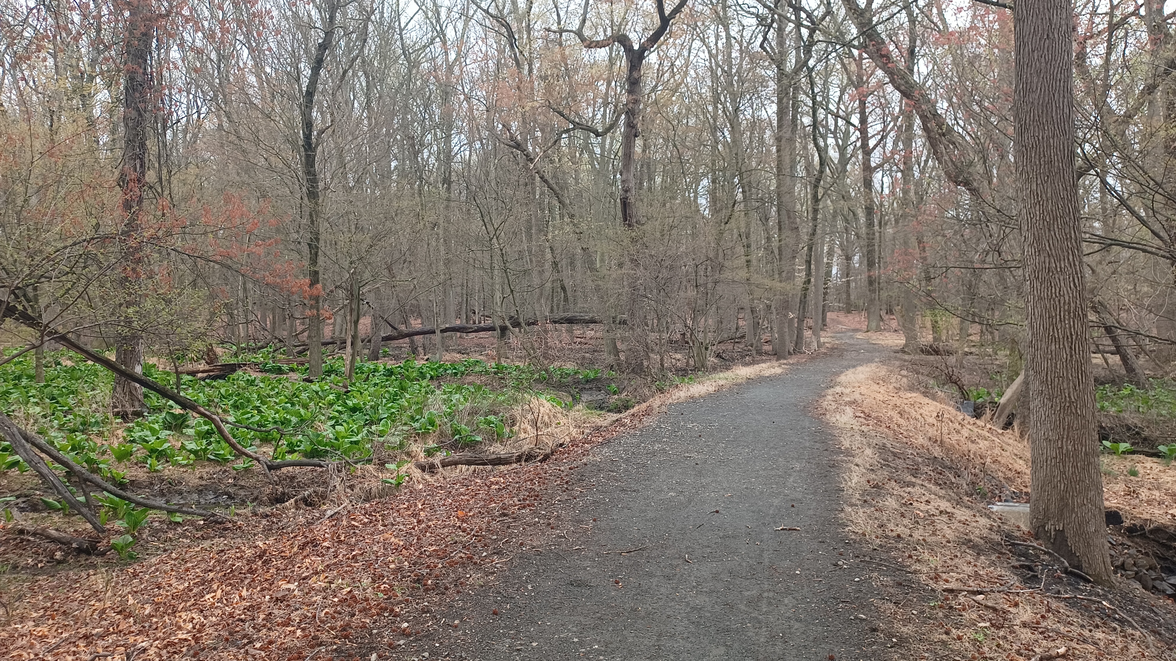
We meandered close to the waterfront with regular views. Just inland were some wetlands, and while most of the area didn't have anything growing too heavily yet, the skunk cabbage was coming in nice and green.

We headed a little further into woods, and we crossed a small tributary. There, we turned to the right on another trail that went closer to the water again. We somehow ended up on a more faint path that petered out as we got closer to the water. Out on that path, we came across some concrete foundation ruins.


I had hoped this trail would go through, but it didn't. We were going to have to backtrack the way we had come for just a bit to the official trail system.
We started following the official trail around to the north, and then reached the intersection with a paved one. This took us to the north parallel with a development. We passed through more skunk cabbage and over a small stream. We could see the predecessor of the current bridge that took us across just to the left of us, kind of collapsed and broken out there.

We came to a side trail to the right, which came out into a development. We took this ot, and emerged on Winterberry Lane.

At this point, I was looking at the time and at the stuff we had coming up. It had occurred to me that there might not be a good way across Interstate 95 on Rancocas Road, which was the only real option I was seeing. I figured I'd better come up with an alternative fast.
I came up with something, but I realized later that it was not necessary. I had looked at the street view images wrong, and we could have passed beneath with probably no problem. I'll have to shoot for this another time in another Rancocas hike, maybe during cold weather again.

Anyway, my plan had originally been to follow the development roads to the south, and then head to the east as close as we could get to the creek, then head north and onto the main road, and then into Rancocas State Park.

My amended plan took us to the development and then to the north, parallel, on a power line greenway.

We turned briefly left, and then right onto Courtland Lane. We passed through a neighborhood heading northeast, and then came out to Windover Lane, which was a smaller road parallel with Beverly Road. We continued to the right for just a bit, and reached the power line crossing.
Directly on the other side of Beverly Road and Windover, we could see the paved trail heading north on the power line. Some of us dashed across the traffic here, or otherwise there was a crosswalk not too far off.

We started along the path heading to the north. The trail had clearly been there for quite a while, because the pavement of it was rather cracked and somewhat uneven.

The trail took us north across Manor Lane, and then shifted to the left side of the power line. Some of the buds on the trees were coming out and looking quite pretty through this area.
We had a long stretch from Manor Road to Millbrook Drive. At that point, the trail temporarily ended. We had to turn to the right on Millbrook Drive, and then to the left on Messenger Lane, across the South Branch of the Mill Creek. On the other side, there was an old concrete road, now part of the trail, that led to the left and back out to the power line. I think this was once a secondary entrance to nearby Joseph McGinley Elementary School.

Back on the trail, we kept heading north. The trail ended yet again when we got to John F. Kennedy Way, but we went slightly left, and then were able to walk around the outside of a power substation to get out to Veterans Parkway near the Shop Rite of Willingboro.

We headed along the side of the lot where there were some ball fields, but no trail again yet, and then out to Harrison Drive where the trail started once more.

We continued again on the power line for just a bit and then came to Holbrook Lane. The trail continued on the other side, but then approached the main flow of the Mill Creek.
The trail turned to the right, dipped down, and crossed a foot bridge over a smaller tributary to the Mill Creek. It then turned and emerged into a cul de sac on Hawley Place.
We turned right into the development and reached Harrington Circle where we turned left and continued through the community on the sidewalks.

Soon, we reached Van Sciver Parkway, where we crossed on a crosswalk and turned left briefly, then right to resume on a trail on another power line, which broke off at a fork in the lines we had been following just a little bit earlier.

We soon came to a fork. The trail went to the left and right and left the power line. We chose to the right, which took us over to Nottingham Drive. I had hoped we could get over to the next bit of development because then we could have used a bit more ball field to walk through, but it wasn't looking promising. We instead followed Nottingham south to Veterans Parkway, which soon became Woodlane Road heading to the east.
We followed the shoulder of the road, past the ball fields I'd wanted to use at the other development, and then came to Springside Road.

At the southeast corner of this intersection, there was a Wawa, just in time to get some sustenance we all felt we needed.

We continued east from Wawa on Woodlane Road, and I had a couple of ideas of how me might connect on our way back. The shoulder of the road was a bit narrow at times, but not as bad as what I figured would have been further to the south, and it was less busy.

We soon reached and crossed over top of Interstate 295 in Westampton Twp. area.

295 is an auxiliary interstate, which serves as a Beltway around Philadelphia and partial Beltway around Trenton.
Despite its secondary status, it is one of the longest interstates in New Jersey, at 76 miles.
The route leads from Interstate 95 near Wilmington Delaware and heads up to 95 once again northof Trenton and wraps around.
A couple of pieces of the highway predated the interstate system, but the first section completed was in 1963 and work continued through the 1980s. The last substantial section was built in 1994.
It's strikingly odd that so much of this route runs closely parallel to the New Jersey Turnpike, a toll road. As such, many prefer to shun the tolls and use 295 instead.

The term "Shunpike" has historically been used to describe parallel roads used to avoid tolls, and this is certainly one of the most popular!
Just after 295, Indel Avenue goes off to the right, through the property of the Indel airport. I figured we might be able to walk this road, but unfortunately it was a gated and signed private road. We were going to have to continue to the east on Woodlane.
The runway of the airport came out almost right to Woodlane Road, and it would have been really cool to see something take off or land, but nothing came.

There was enough grass on most of the road from here to keep off to the side as the fast cars were going by. We soon came to a lovely farmstead on the left.


The 1876 J D Scott Atlas of Burlington County shows this as the farm of A. Haines.

The road at the approach to the New Jersey Turnpike just ahead was rerouted several years ago, and now it curves around to the right where it used to go more straight and along the front of another old farmhouse straight ahead.
The old road is cut off from the one end where we had to walk through the grass, but then it was old pavement with lines again up to the other end of the realigned curve.
A very nice lady stopped her car and told us to walk her driveway, which is the original alignment, rather than the road without a shoulder.


I had heard that someone had been killed at that house by a passing speeding car, but I'm not sure on what exactly happened.

It was a really weird spot, because the bend in the current road actually lengthened the route.
We walked along the abandoned road and then around a curve toward the NJ Turnpike overpass. We walked across on the right side and viewed the traffic as it all went by.
The route was first planned as two separate highways, Route 100 from New Brunswick east, and Route 300 from New Brunswick west to the Delaware Memorial Bridge.


Originally planned as a toll free road, the state did not have the funds to complete it and little work was done under those original designations. The New Jersey Turnpike Authority was created in 1948 to finish the job, and it opened in 1951 as a single Highway.


It has been extended for a total of 117 miles, and is the sixth busiest toll road in America.

The road we turned onto to cross was known as Irick Road. Apparently, this is a more common name in south Jersey, because we had recently hiked an "Irick's Causeway" in the Pine Barrens. I don't recall ever hear the name before this year.
Once we were over the bridge, the road descended a bit, and there was an abandoned farm area on the right. There was a light pole, pavement from accesses, and we could see where the utilities were, but house and such has all long since been demolished.

The 1876 J D Scott Atlas of Burlington County shows this as the farm of C. Haines.


Some of the buildings remained until very recently years I understand.
.jpg)
Before the NJ Turnpike was built, Woodlane Road traveled directly by the buildings of this farm without the curve up and back.
When we headed south to the next intersection and turned left, we were on Woodlane Road once again.
I was looking at the time with great detail at this point. We were running way later than I had ever anticipated we would be and I needed to take action because our cars would be locked in at the start point.
I made a call to Burlington County Parks for the ranger on duty. The guy I talked to was very reasonable, but let me know that we really did need to get the cars out of there before dark. I think it was mine and Diane's that were in there.

I assured the ranger we would get them out and thanked him for his time, and then we got the group all together as we approached the local library on the left.

I needed to get an Uber to get the drivers back to the start and out of that lot. I was willing to take it, but then someone would have to stay with Ev. Kirk offered to go back and bring the car back fortunately, and so I called the Uber and he and Diane got in to head back in reasonable time. The rest of us would do the amended hike as I had planned it on the fly, which wasn't a really bad route considering the very short planning behind it.
There was a paved pathway from the library that curved down parallel with Woodlane Road, and we curved onto that as it approached us. We then turned right, across the road, and onto Greenwich Drive, into a development.

A short distance up this road, I found a swath of open space that went behind new development homes between the intersection with Greenwich Drive and Quail Hollow Drive.
I didn't know for sure if it would work, but it looked like an attractive option.

As we were approaching the turnoff for this grassy pass, I could see a police car was coming in behind us. It stopped to talk to Galya and Svetlana.
Apparently, someone had seen us walking earlier and reported us as a questionable or suspicious group. Some lady that called in said that there was a group of strange looking people wearing "book bags". Of course, I had my suit on and was pushing the stroller.
It was also kind of funny that the cop stopped and talked to the two women in the group who had accents. Galya doesn't really have a Russian accent anymore, but there is a slight difference in her accent than in a normal New York accent. I can definitely hear it, and Svetlana has an Indian accent.
It's just funny that it is such a diverse group and it led to this little interaction.
We continued along the grassy area, and there was a guy walking a dog ahead, which made me feel better about walking it. It was not signed as a trail in any way, but it came across a common land.
We came out to the intersection with Tarnsfield Road. We turned left here, walked a short bit, and turned right on Devonshire Drive.
We made the first left on Bloomfield Drive, and continued another couple of blocks through the development and then turned right on Lambert Drive.
Soon, we reached Holly Hills Elementary School.
We walked through the school grounds, and then out the exit of the property to the left onto Ogden Drive.

We continued to the intersection with Holly Lane and turned right.
Here, we just headed south to the rear of the strip mall we had met at in the morning.
When we got back to the lot, we decided to head into the pizza place there for a bite, called Old Village Pizza.
It was actually pretty good, and really a perfect spot to be waiting. By the time Kirk got back to us, it was well after dark and we were all inside relaxing.
I felt a bit sheepish because I would never have thought that this hike of all of them would go over on mileage to over twenty, but it did. Still, it was a pretty good one, with a lot more interesting stuff than I bargained for. I really looked forward to doing the next one in the series down there because of this.